|
|
|
| |
Plymouth Boat Trips
All images link to larger
copies which will open in a new window/tab
This page is under construction!
|
|
|
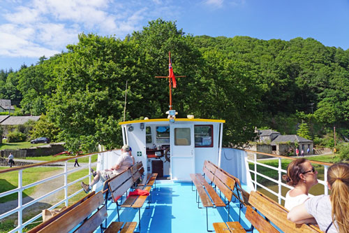
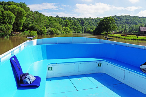
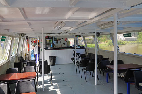
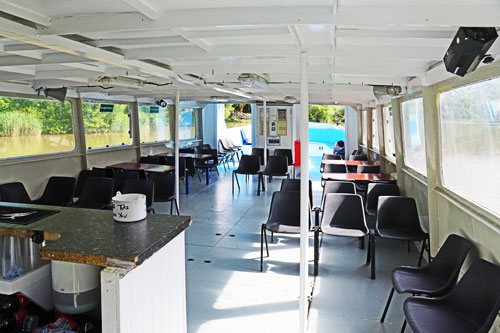
This page shows postcards and images from a cruise on the River
Tamar with Plymouth Boat Trips in June 2015 on the vessel
Plymouth Princess, with two hours at Morwellham Quay.
The Tamar has a high tidal range so only runs on selected dates to Cotehele,
Morwellham or Calstock.
Websites:-
www.plymouthboattrips.co.uk
-
www.cawsandferry.co.uk
Email:-
plymouthboattrips@hotmail.co.uk
Telephone:- 07971
208381
|
|
|
|
|
|
| |
|
|
Trip Out Guides -
Various Editions 1985-2016 by Geoffrey Hamer -
wwww.trip-out.co.uk
Trip Out Guides
are available from Geoffrey Hamer, PO Box 485, Southall, UB1 9BH
Estuary & River
Ferries of South West England - Martin Langley &
Edwina Small - Waine Research (1984)
Passenger Steamers of the River Tamar -
Alan Kittridge - Twelveheads Press (1984)
Passenger Steamers of the River Dart -
Richard Clammer & Alan Kittridge - Twelveheads Press
(1987)
South Devon Ferries -
Alan Kittridge - Tempus (2003)
Steamers & Ferries of the River Tamar &
Three Towns District - Alan Kittridge - Twelveheads
Press (2003)
2011 Timetable
http://www.hollandamerica.com
|
|
|
|
|
Plymouth Boat Trips
All images link to larger
copies which will open in a new window/tab
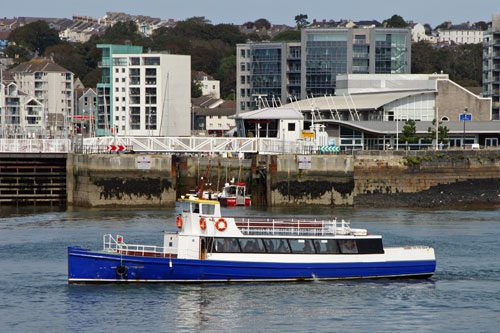
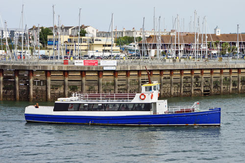
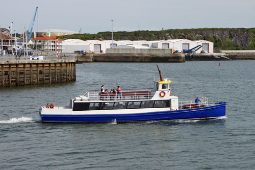
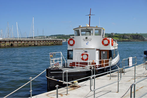
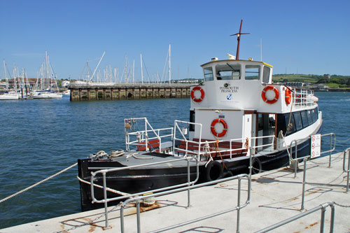
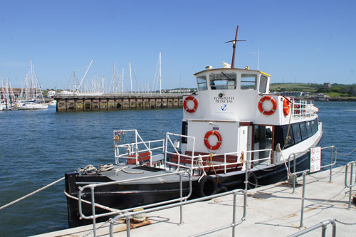
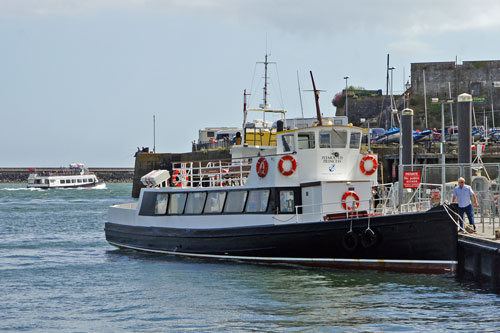
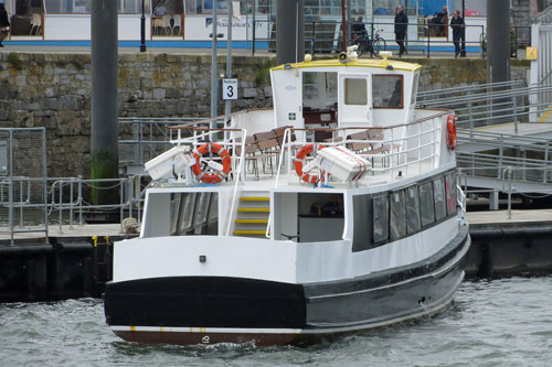
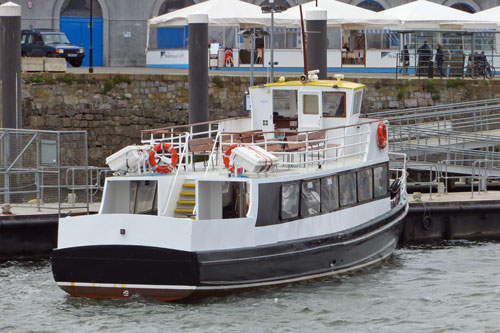
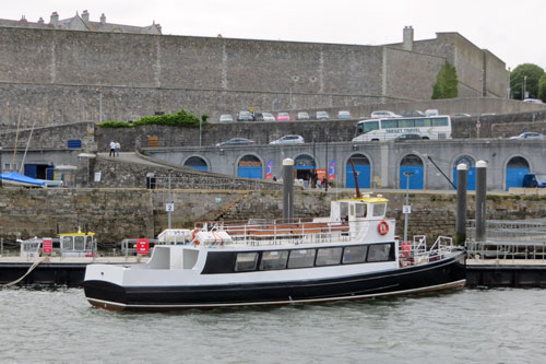
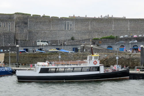
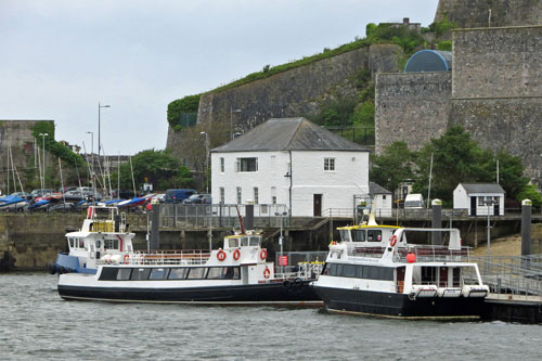
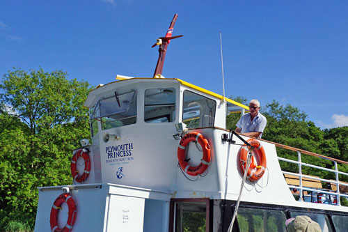
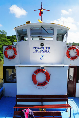
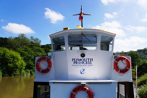
Plymouth Princess (previously Sound
Cruising) joined the Plymouth Boat Trips fleet before the 2013 season.
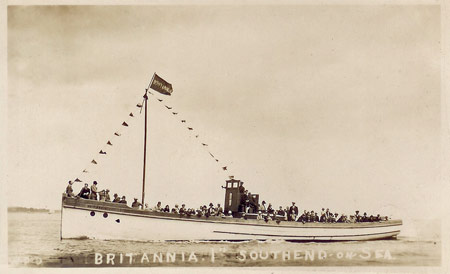
Plymouth Princess had run at Southend from 1921
to 1958 as the Britannia I and on the Thames as Thames
Britannia to 1982. She was the first boat of Plymouth Boat Cruises in 1982.
She passed to Sound Cruising in 2005 and to Plymouth Boat Trips before the 2013
season.
Britannia
I running
at Southend
Plymouth Princess leaving the Barbican in
Sound Cruising service
Photo: © Ian Boyle, 1st
September 2012
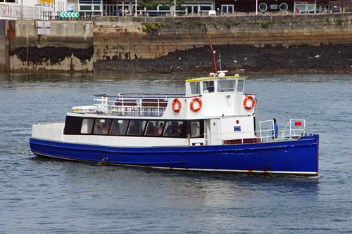
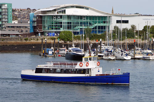
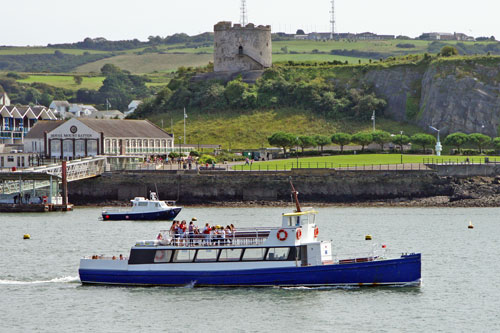
Plymouth Princess at the Barbican in Plymouth
Boat Trips service
Photo: © Ian Boyle, 15th June
2013
Trip to
the River Tamar on Plymouth Princess
All images link to larger
copies which will open in a new window/tab
The River Tamar forms the eastern limit of the City of Plymouth and it is
the border between Devon and Cornwall. The trip to Morwellham takes around two hours
each way and we had two hours ashore. Morwellham is the effective limit of
navigation for vessels of this size. Getting this far is becoming
increasingly difficult due to silting. There is very limited traffic
reaching this far these days.
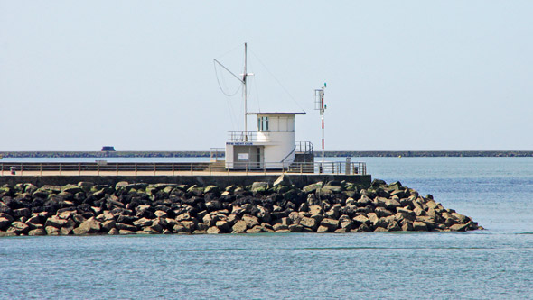
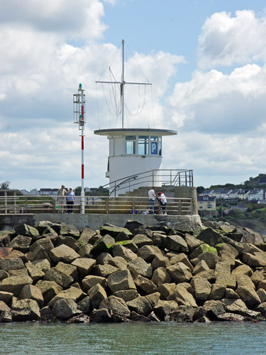
As we leave the Barbican we pass the Mount Batten
Breakwater. Work on the Mount Batten Breakwater (also referred to as Mount
Batten Pier and Cattewater Breakwater) started in 1878 and was completed in
1881 at a total cost of £20,000. It is 915 feet (279 metres)in length and
the foundations are 20 feet (6 metres) below the low tide mark. The
breakwater was promoted by the Cattewater Commissioners who were responsible
for shipping in the area. During the air-station years the breakwater was
closed to the public and used, for a period, to store flying boats. In 1995
the breakwater was refurbished and re-opened to the public.
As we leave the Barbican we pass the Mount Batten
Breakwater
Photo: © Ian Boyle, 14th May 2014
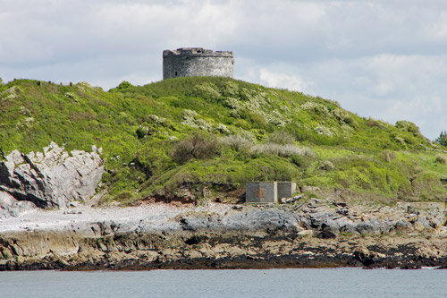
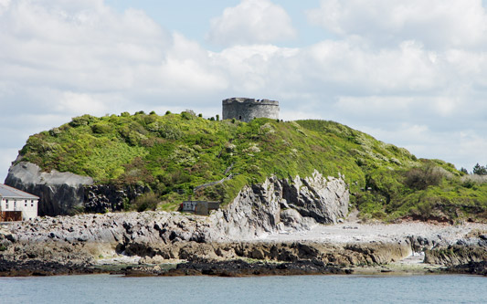
Mount Batten Tower is visible pass the Mount Batten breakwater. In the
later Medieval period, Mount Batten became an important defensive point for
the developing settlement at Plymouth Harbour, providing a field of fire
from across the other side of the Cattewater, the channel connecting the old
town to the sea. In 1652, Mount Batten Tower, a 30-foot high circular
artillery fort was built here.
Mount Batten Tower is visible to the east as we pass
the breakwater
Photo: © Ian Boyle, 14th May 2014
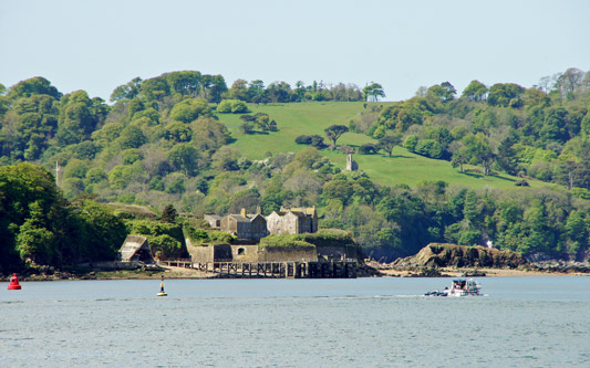
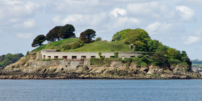
To the west as we leave the Barbican we can see Drake's Island in Plymouth
Sound. The first recorded name for the island was in 1135, when it was
referred to as St Michael's, after the chapel erected on it. At some later
date the chapel was rededicated to St Nicholas and the island adopted the
same name. From the latter part of the 16th century the island was
occasionally referred to as Drake's Island after Sir Francis Drake, the
English privateer who used Plymouth as his home port. Even well into the
19th century, maps and other references continued to refer to the island as
St Nicholas's Island and it is only in about the last 100 years that this
name has slipped into disuse and the name Drake's Island has been adopted.
The 1859 Royal Commission on the Defence of the United Kingdom recommended a
huge programme of new fortifications to defend Plymouth. On Drake's Island,
the existing battery at the centre of the island was replaced by five
12-inch muzzle loading guns in open emplacements. A new battery was also
built on the south-western end, of twenty one 9-inch guns in an arc of stone
casemates with iron shields. Six 12-pounder quick firing guns were added in
1897 and three 6-inch guns became the main armament in 1901.
The island was sold for £384,000 in 1995, with plans to turn it into a hotel
complex, but the owner has not, to date, obtained planning permission. The
island contains derelict military barracks and buildings from the Napoleonic
era, and a MoD radio mast.
Drake's Island barracks and batteries
Photo: © Ian Boyle, 14th May 2014
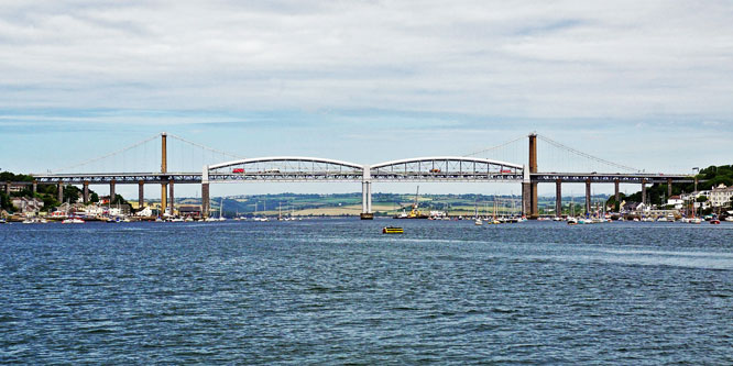
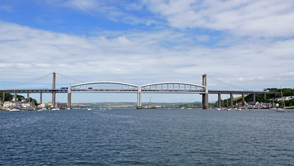
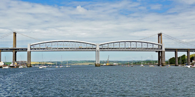
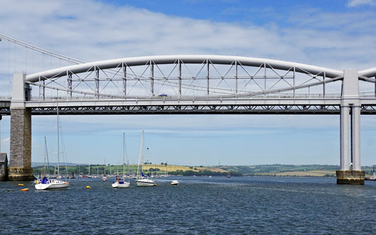
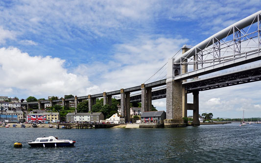
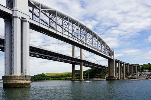
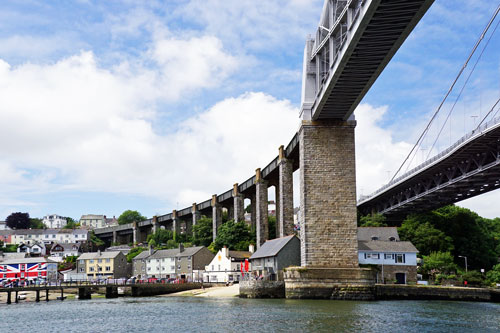
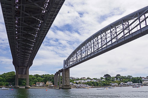
The Royal Albert Bridge is a single track railway bridge that spans the
River Tamar in England between Plymouth (Devon) and Saltash (Cornwall). Its
unique design consists of two 455 feet (138.7 m) lenticular iron trusses 100
feet (30.5 m) above the water, with conventional plate-girder approach
spans. This gives it a total length of 2,187.5 feet (666.8 m). It carries
the Cornish Main Line railway in and out of Cornwall.
It was designed by Isambard Kingdom Brunel. Surveying started in 1848 and
construction commenced in 1854. The first main span was positioned in 1857
and the completed bridge was opened by Prince Albert on 2 May 1859. Brunel
died later that year and his name was then placed above the portals at
either end of the bridge as a memorial. Work was carried out during the
twentieth century to replace the approach spans and strengthen the main
spans. It has attracted sightseers since its construction and has appeared
in many paintings, photographs and guidebooks. Anniversary celebrations took
place in 1959 and 2009.
www.simplonpc.co.uk/Plymouth.html#RoyalAlbertBridge
Brunel's Royal Albert Bridges seen from Plymouth
Princess of Plymouth Boat Cruises heading upriver
Photo: © Ian Boyle, 29th June 2015
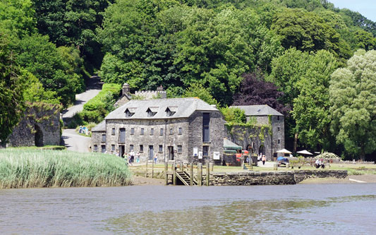
Cotehele was the ancestral home to the Edgcumbe family for centuries. The
Tudor house, perched high above the River Tamar, is decorated with
tapestries, arms and armour, pewter, brass and old oak furniture. The
interior tour has changed little over the years, although the furnishings
were titivated as Cotehele continued to inspire its owners.
In the 19th century local industries boomed and Cotehele Quay bustled with
vessels loading and unloading cargo. Paddle steamers came upriver to see the
Tamar Valley’s famous blossoming orchards and small boats carried
market-gardening produce back down the river for sale at Devonport Market.
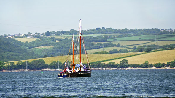
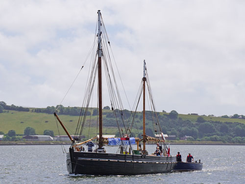
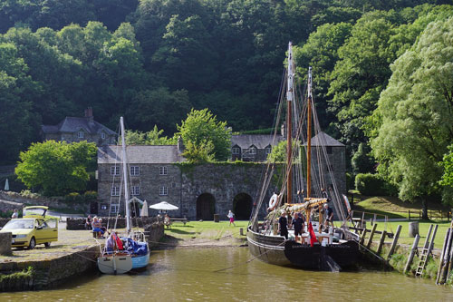
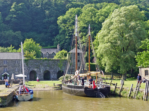
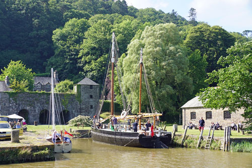
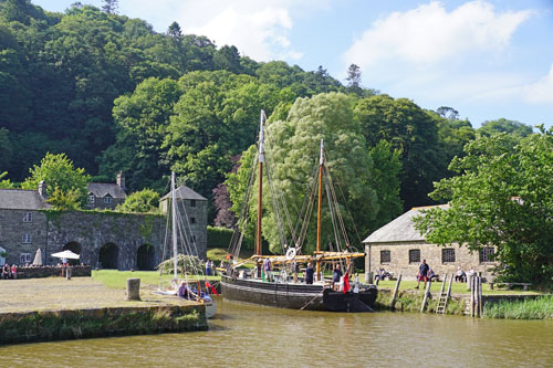
The restored sailing barge Shamrock is usually moored at the quay
at Cotehele. Shamrock was built in the Stonehouse yard of Frederick Hawke as
a Ketch rigged Tamar sailing barge in 1899. Shamrock is 17.5m (57ft 6in)
long, has a beam of 5.51m (18ft 1in), a hold depth of 1.62m (5ft 4in) and
was initially registered as of 31.71 tons gross. Her hold is 6.7m (22ft) by
3.5m (11ft) and main mast is 12.5m (42ft) high.
After a long varied working life Shamrock ended up being used as a scrap iron
store in Hooe Lake Plymouth. She was acquired by the National Maritime
Museum and, in conjunction with the National Trust, taken to Cotehele Quay
in 1973 as a restoration project. This restored Shamrock to as
she was after being converted to a coastal vessel in the early 1920's and
was completed in 1979. She now has the distinction of being the last working
Tamar Sailing barge. Shamrock was named after the unsuccessful Irish
challenger for the 10th America's Cup Race in 1899. She is considered to be
the most advanced Tamar sailing barge ever built - it was a conscious effort
to design a vessel which would carry the maximum cargo for her size on the
minimum draft and at the lowest operating and maintenance costs.
Shamrock is now permanently berthed at Cotehele Quay, a National Trust
property, and still has occasional trips up and down the river. Shamrock is
listed on the National Trust Collections website, and has inventory number
348277. She is also listed on the UK National Historic Ships Register,
maintained by the National Maritime Museum, Greenwich, London, and has
Certificate number 665. Shamrock is currently jointly owned by the National
Trust and the National Maritime Museum. Ref: Wikipedia
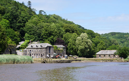
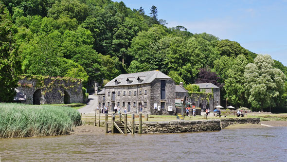
Cotehele - National Trust
Photo: © Ian Boyle, 29th June 2015
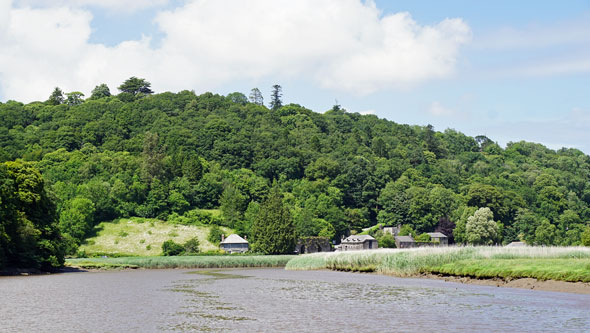
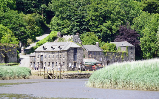
 We passed the sailing barge Shamrock on its
way back Cotehele after attending a local regatta.
Photo: © Ian Boyle, 29th June 2015
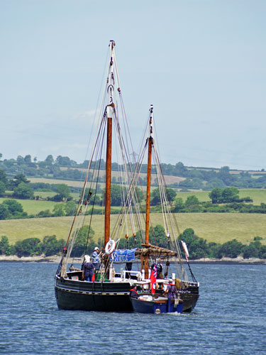
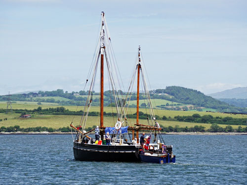
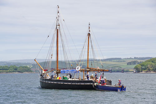
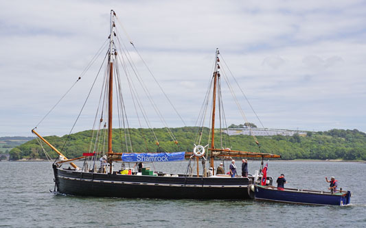
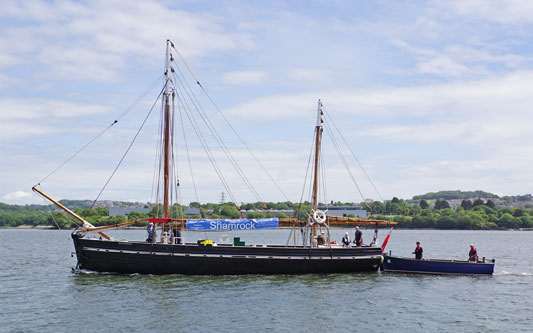
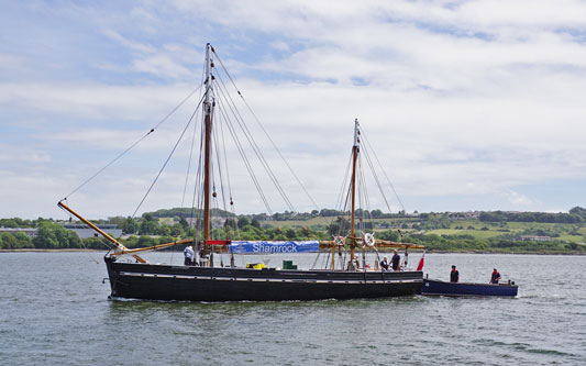
 Shamrock back at Cotehele after attending a local regatta.
Photo: © Ian Boyle, 29th June 2015
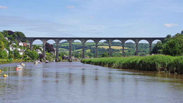
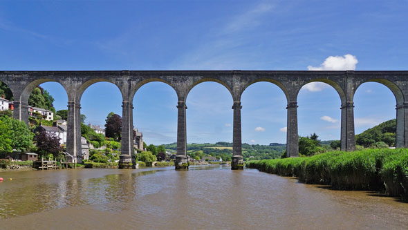
Calstock (Cornish: Kalstok]) is a civil parish and a large village in south
east Cornwall, England, United Kingdom, on the border with Devon. The
village is situated on the River Tamar 6 miles (9.7 km) south west of
Tavistock and 10 miles (16 km) north of Plymouth.
Mining was important in Calstock from Mediaeval times, with the Duchy mining
silver. The industry was booming in the late 19th century and the discovery
of copper, and coupled with nearby granite quarrying made Calstock a busy
port. The rapid population boom due to the growth of industry led, in 1849,
to an outbreak of cholera. The industry declined in the early 20th century
due to foreign competition, and now only the ruined pump houses that dot the
landscape remain.
The Tamar is navigable to boats past Calstock some 3 miles (4.8 km) upstream
to Morwellham Quay with some 10 feet (3.0 m) or even 20 feet (6.1 m) of
water at extreme spring tides. Calstock Quay was once important for
transporting goods, and in the Victorian era when steamers brought tourists
to the village, Calstock was visited by Queen Victoria and Prince Albert in
1846.
The 3 ft 6 in (1,067 mm) gauge East Cornwall Mineral Railway was opened to
Kelly Quay at Calstock on 8 May 1872. Wagons with goods from the mines
around Gunnislake and Callington were brought down the hillside on a 0.4
miles (0.6 km) cable-worked incline with a gradient of 1 in 6 (17%).The
importance of the river as a transport route declined with the construction
of the 14 miles (23 km) Tamar Valley railway at the start of the 20th
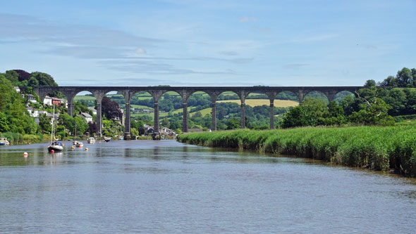
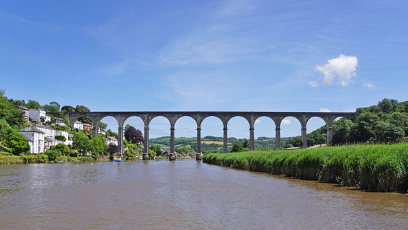
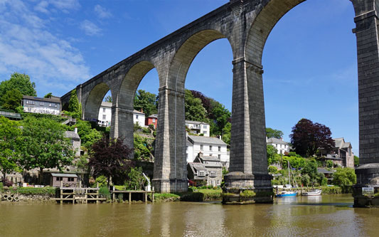
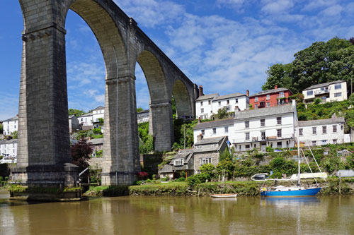
century. The village is still dominated by the railway's viaduct. The
viaduct, constructed entirely from precast concrete blocks, was first
crossed by truck on 8 August 1907 and first used by passengers on 2 March
1908. The Plymouth, Devonport and South Western Junction Railway opened the
station on 2 March 1908. This line was a branch from Bere Alston to
Callington Road and crossed the River Tamar on Calstock Viaduct.
A steam-powered lift was attached to the downstream side of the viaduct
which could raise and lower wagons to the quays 113 feet (34 m) below,
making it one of the highest such lifts in the country. It was connected to
the station goods yard by a second parallel steel stub viaduct. A short
section of the narrow gauge line was retained to serve a lime kiln, but the
wagon lift and all the sidings were taken out of use in September 1934.
Ref: Wikipedia
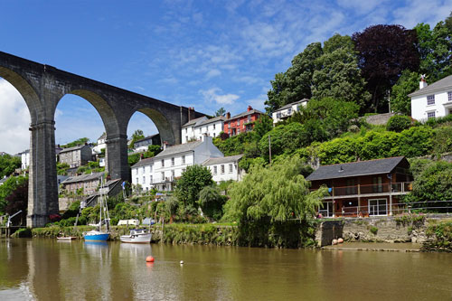
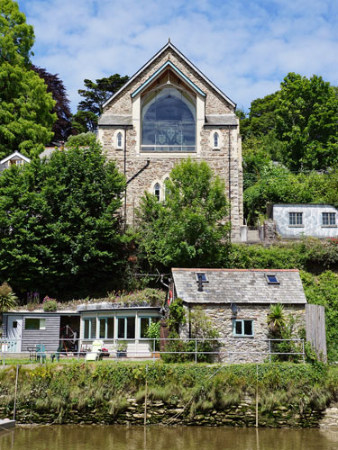
Calstock & Viaduct heading upriver on Plymouth
Princess
Photo: © Ian Boyle, 29th June 2015
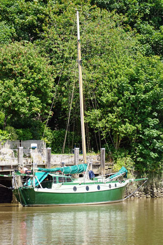
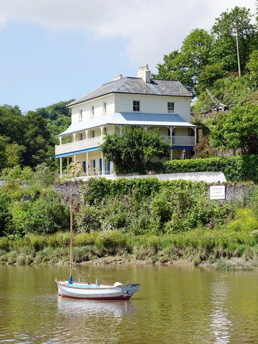
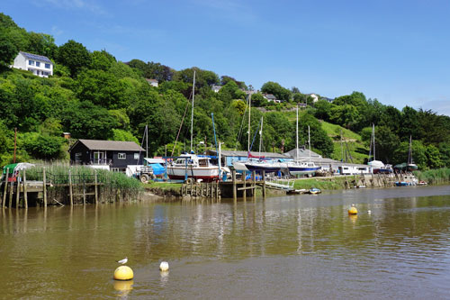
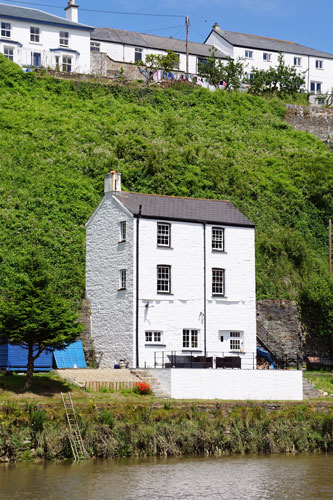
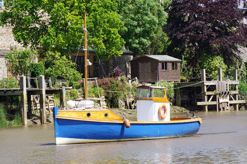
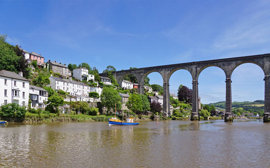
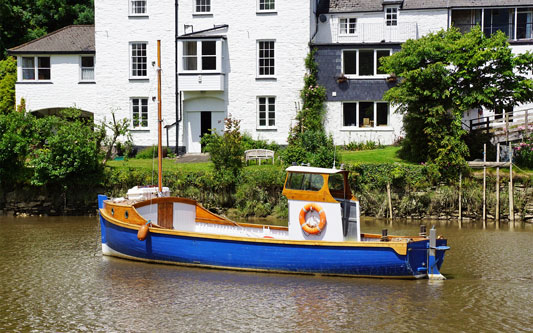
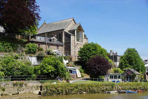
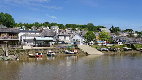
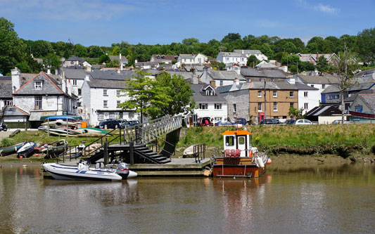
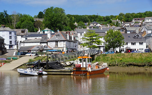
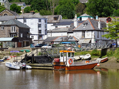
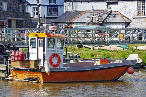
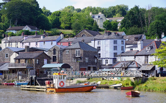
 Calstock slip and the ferry for Cotehele Quay
Photo: © Ian Boyle, 29th June 2015
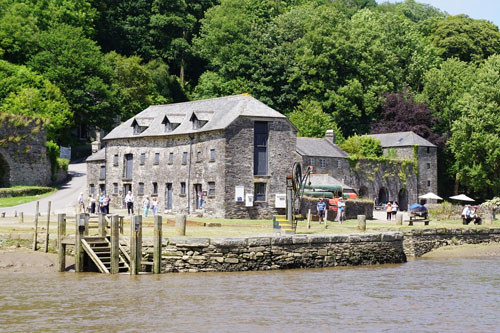
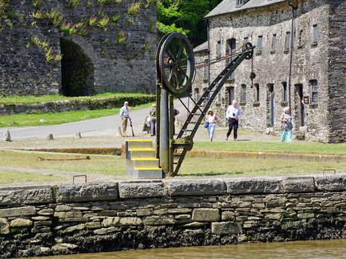
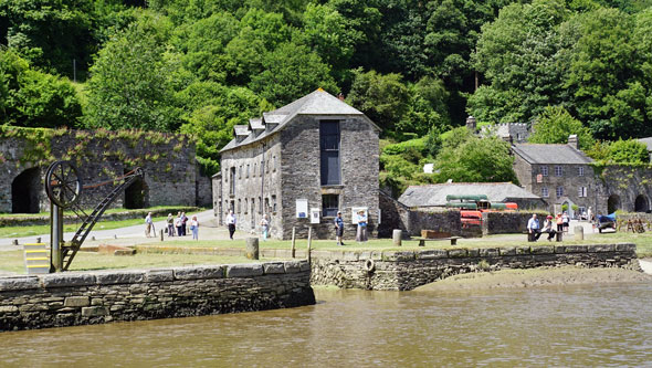
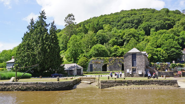
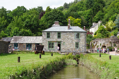
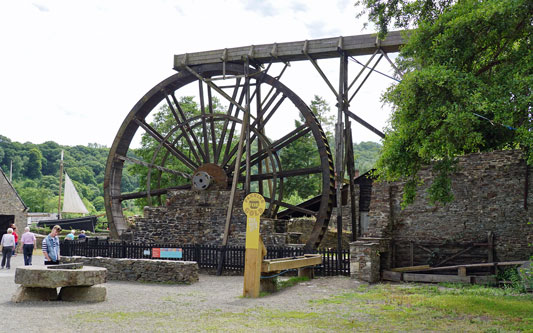
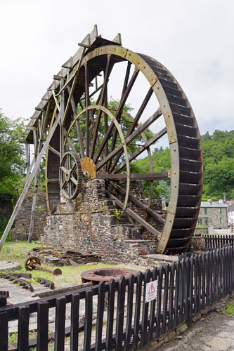
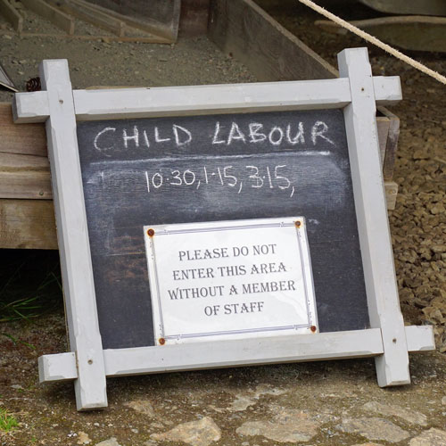
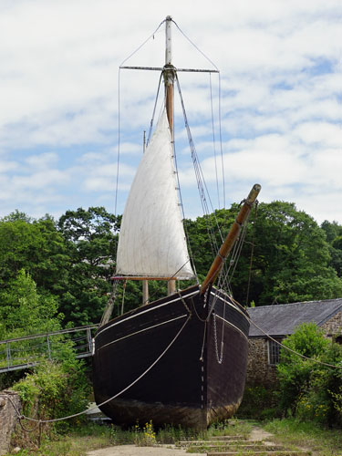
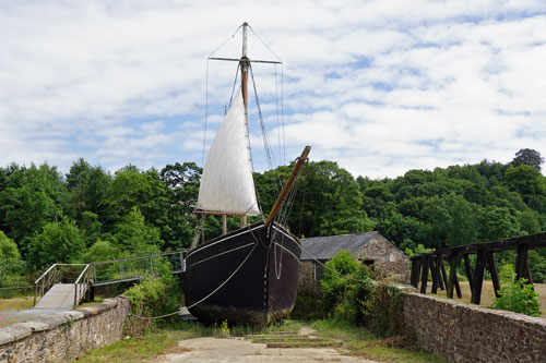
Morwellham Quay is a historic river port in Devon, England that developed to
support the local mines. The port had its peak in the Victorian era and is
now run as a tourist attraction and museum. It is the terminus of the
Tavistock Canal, and has its own copper mine. The open-air museum includes
the restored 19th-century village, the docks and quays, a restored ship, the
George and Charlotte copper mine which is toured by a small train, a
Victorian farm and a nature reserve with trails.
In July 2006, UNESCO (the cultural arm of the United Nations) awarded World
Heritage Site status to the Cornwall and West Devon Mining Landscape area.
Morwellham is strategically sited at the centre of the Tamar Valley Mining
District which, together with nearby Tavistock, forms the easternmost
gateway area to the rest of the World Heritage Site.
Morwellham Quay was originally set up by the Benedictine monks of Tavistock
Abbey, which was founded in 961, to carry goods to and from Plymouth on the
River Tamar, since the River Tavy was un-navigable. By the 12th century, tin
ore was being transported through the quay, followed by lead and silver ores
in the 13th century. Later, copper deposits were also discovered at the Quay
itself and the George and Charlotte Mine opened in the 18th century. In
addition, by 1800, manganese deposits were being extracted from the northern
and western edges of Dartmoor and being brought to Morwellham.
By the end of the 18th century, the trail of pack horses across the rugged
terrain was too much, and in 1817 the 4.5-mile-long Tavistock Canal was
opened. The canal included a 1.5-mile tunnel which ended 237 feet above the
quay at Morwellham. From here an inclined plane was constructed to bring the
iron barges down to the quay, powered by a water wheel.
The heyday for Morwellham Quay came when the largest and richest copper
deposits ever were discovered at the Devon Great Consols just 4 miles to the
north in 1844. £1 shares were soon worth £800 as the rush to extract the ore
started. This gave rise to Morwellham's fame as the "richest Copper port in
Queen Victoria's Empire", and the queen herself visited in 1856. Another
inclined plane was built to transport the ore down the hill and a new quay
was added to handle the 30,000 tons of ore that were exported each year.
Arsenic was also extracted and it became the world's largest supplier of the
mineral in the latter part of the century. However by 1903 the Consols'
wealth was exhausted and the mines closed. By this stage, the railways had
taken over and Morwellham's usefulness was also ended. The canal tunnel was
used as a water supply for a hydroelectric plant and the inclined planes
were abandoned.
In 2009 Devon County Council withdrew funding for the mining museum, which
as a direct result was placed into administration. In April 2010 the site
was purchased by the owners of Bicton Park, and it reopened to the public
later in the year. Ref: Wikipedia
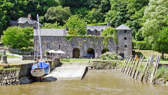
Arriving at Morwellham Quay
Photo: © Ian Boyle, 29th June 2015
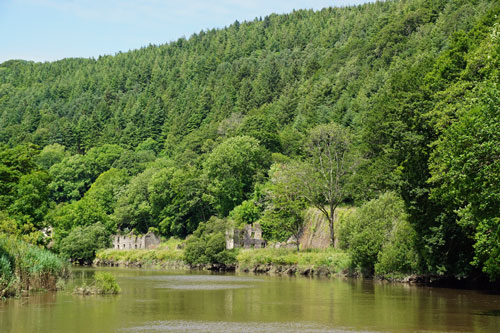
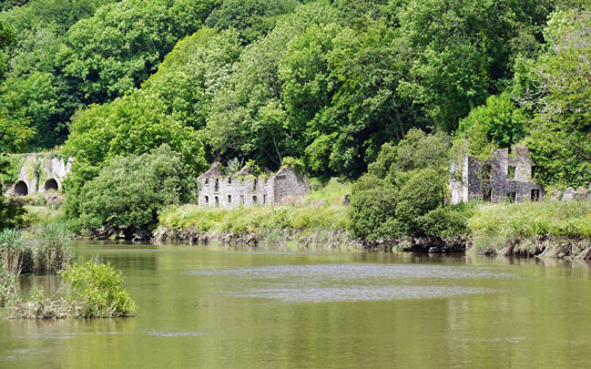
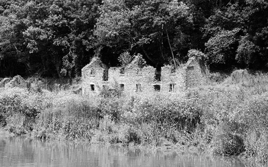
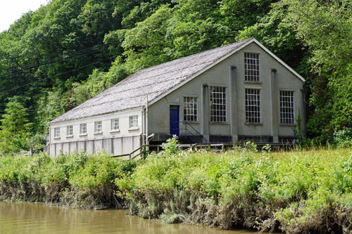
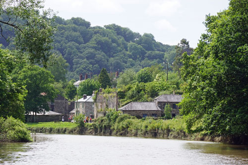 Morwellham Quay hydro-electric power station
Water comes from the Tavistock Canal which end above Morwellham Quay
Photo: © Ian Boyle, 29th June 2015
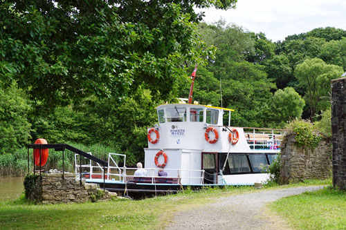
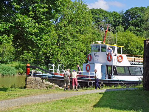
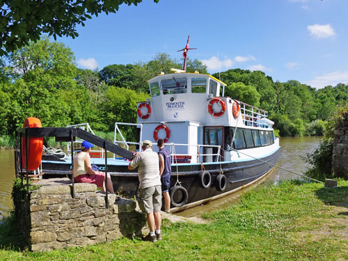
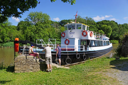
 Plymouth Princess berthed at Morwellham Quay
Photo: © Ian Boyle, 29th June 2015
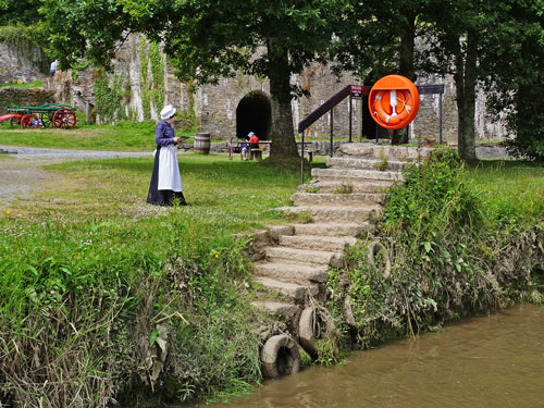
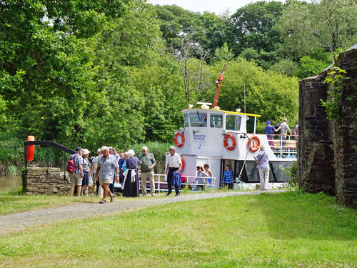
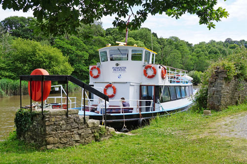
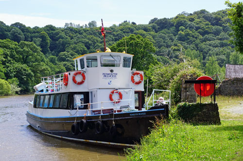
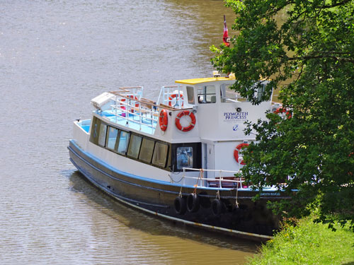 Morwellham Quay
Photo: © Ian Boyle, 29th June 2015
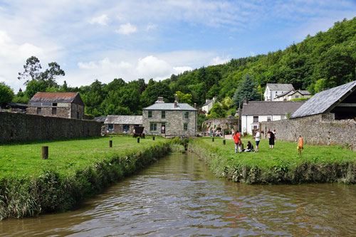
 Plymouth Princess prior to departure from Morwellham Quay
Photo: © Ian Boyle, 29th June 2015
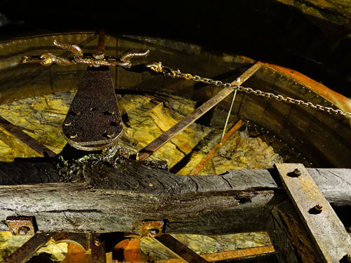
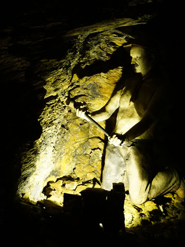
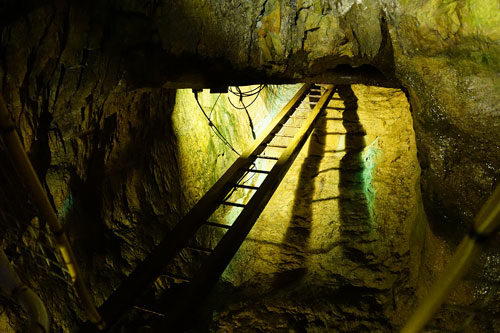
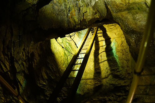
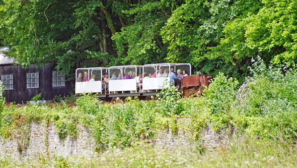
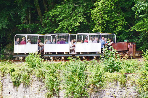
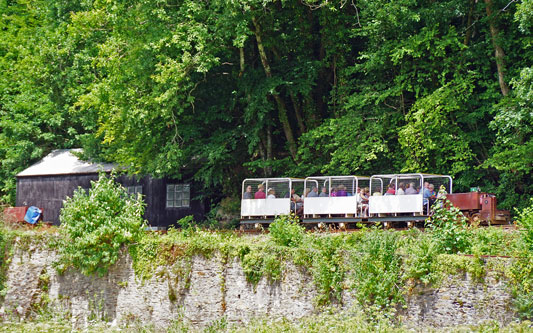
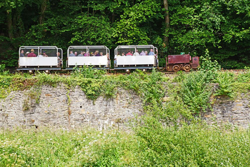
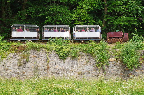
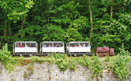
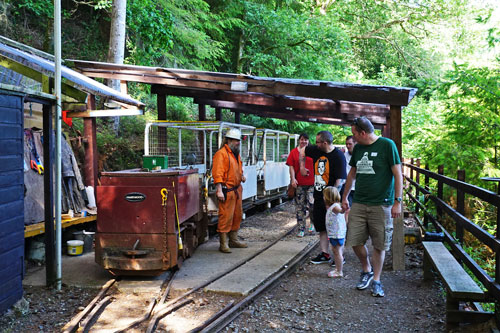
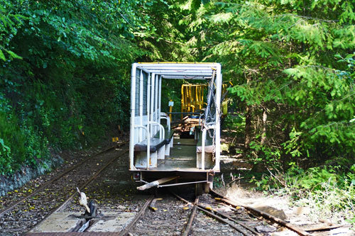
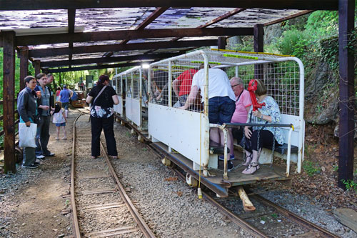
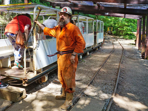
The mine train at Morwellham runs into the George & Charlotte copper mine
for a fascinating insight into the harsh living and working conditions in
the 19th Century. It is a very interesting ride and the driver/guide was
extremely good. The railway is not authentic however as all original tunnels
would have been just 5ft tall and 2ft wide. They have been blasted out into
much wider tunnels to take the trains.
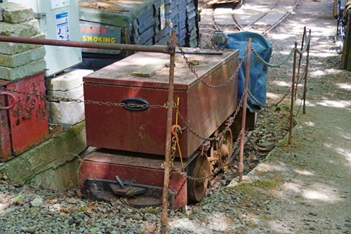
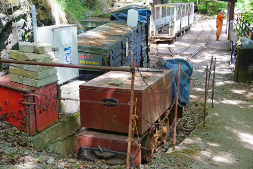
Unidentified Morwellham Mine loco (No.1?)
Photo: © Ian Boyle, 29th June 2015
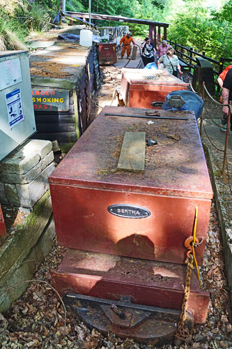
 Morwellham Mine loco Bertha
Photo: © Ian Boyle, 29th June 2015
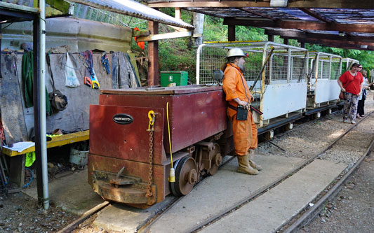
 Morwellham Mine loco Harewood
Photo: © Ian Boyle, 29th June 2015
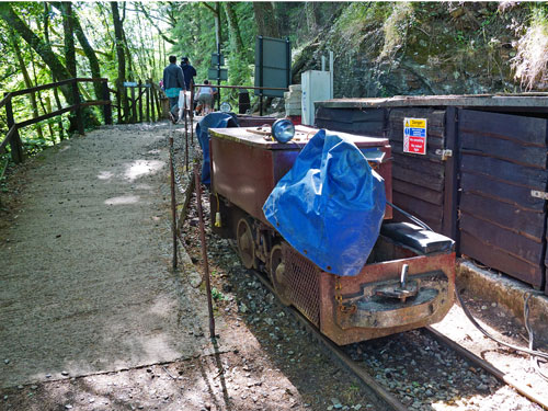 Morwellham Mine loco Mary
Photo: © Ian Boyle, 29th June 2015
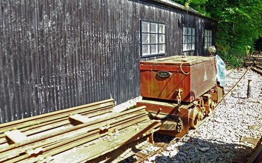

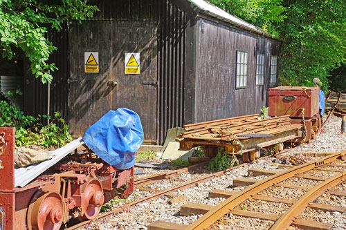 Unidentified Morwellham Mine loco
Photo: © Ian Boyle, 29th June 2015
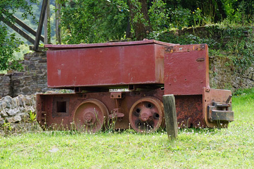 Morwellham Mine passenger train at the only station
Photo: © Ian Boyle, 29th June 2015
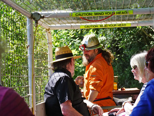
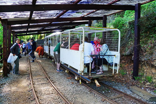
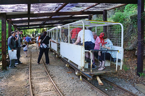
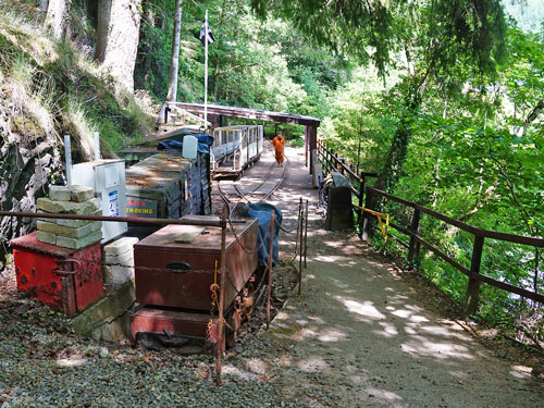
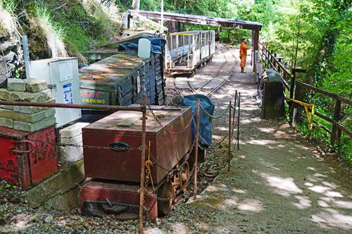
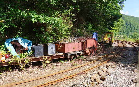
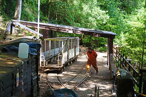 Morwellham Mine other rolling stock
Photo: © Ian Boyle, 29th June 2015
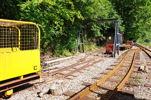
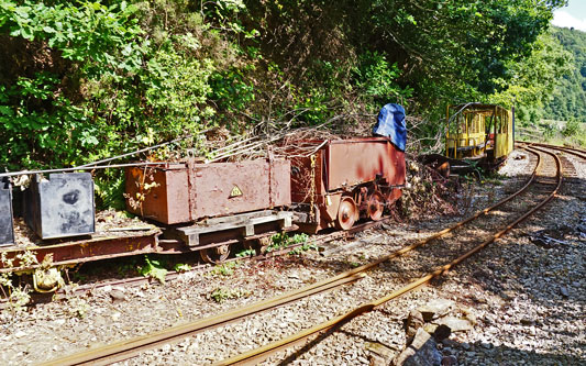
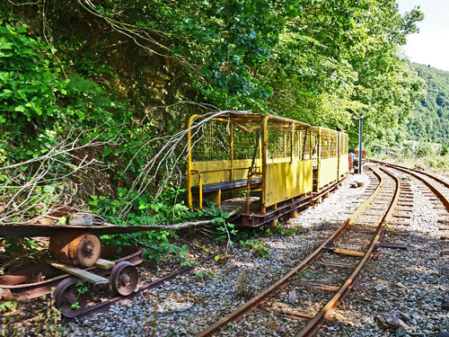
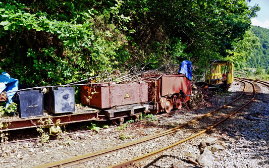
 In the George & Charlotte Mine at Morwellham
Photo: © Ian Boyle, 29th June 2015
