|
|
|
| |
Plymouth Boat Trips
All images link to larger
copies which will open in a new window/tab
|
|
|
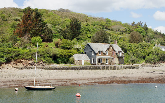
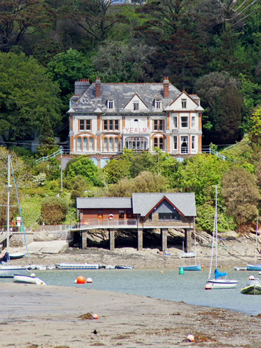
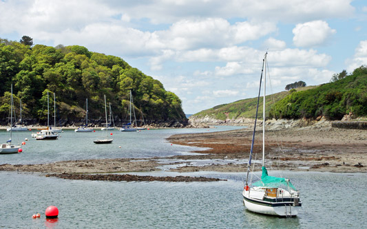
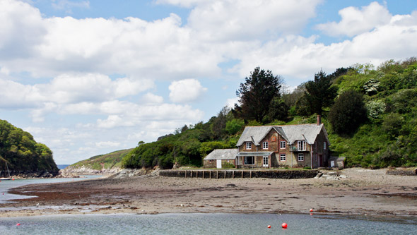
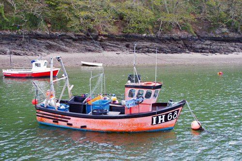
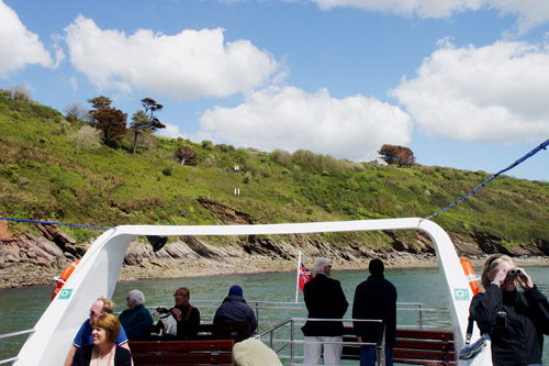
This page shows postcards and images from a 2 hour
cruise to the River Yealm with Plymouth Boat Trips in May 2014 on the vessel
Spirit of Plymouth.
The Yealm has a high tidal range so only runs on selected dates, the same
applying to the other long cruises on the Tamar to Morwellham or Calstock.
The Yealm (historically pronounced 'Yam') is a river in Devon in England
that rises 1,411 feet above sea level on the Stall Moor mires of south
Dartmoor and travels 12 miles (19 km) to the sea, passing through Cornwood,
Lee Mill and Yealmpton before reaching its estuary which forms a ria (a
coastal inlet formed by the partial submergence of an unglaciated river
valley) bounded on its western side by Wembury.
The villages of Noss Mayo, Newton Ferrers and Bridgend on Newton Creek, off
the Yealm, were extremely isolated from Plymouth, although a rowed ferry
existed from Ferry Cottage across the Pool of Yealm to a path towards
Wembury. In the 20th Century the ferry was moved upstream to run a
triangular service between Wide Slip, Warren Point and the Yealm Hotel. A
ferry still runs in summer from Newton Ferrers to Noss Mayo and Warren
Point. When the Great Western Railway (GWR) opened a branch to Yealmpton
George Hodge began a ferry service from Newton Ferrers and Noss Mayo to
Steer Point station on the railway branch. The steamers used on this ferry
were the Kitley Belle of 1905 and smaller Kitley Girl.
There was bus competition from the 1920s and Kitley Belle was
replaced by the Kelvin-engined Pioneer from St Mawes. Kitley
Belle was sold in 1930 and the ferry ceased soon afterwards. Excursion
vessels from Plymouth regularly visited the Yealm, as they do to this day.
Websites:-
www.plymouthboattrips.co.uk
-
www.cawsandferry.co.uk
Email:-
plymouthboattrips@hotmail.co.uk
Telephone:- 07971
208381
|
|
|
|
|
|
| |
|
|
Trip Out Guides -
Various Editions 1985-2014 by Geoffrey Hamer
Trip Out Guides
are available from Geoffrey Hamer, PO Box 485, Southall, UB1 9BH
Estuary & River
Ferries of South West England - Martin Langley &
Edwina Small - Waine Research (1984)
Passenger Steamers of the River Tamar -
Alan Kittridge - Twelveheads Press (1984)
Passenger Steamers of the River Dart -
Richard Clammer & Alan Kittridge - Twelveheads Press
(1987)
South Devon Ferries -
Alan Kittridge - Tempus (2003)
Steamers & Ferries of the River Tamar &
Three Towns District - Alan Kittridge - Twelveheads
Press (2003)
2011 Timetable
http://www.hollandamerica.com
|
|
|
|
|
Plymouth Boat Trips
All images link to larger
copies which will open in a new window/tab
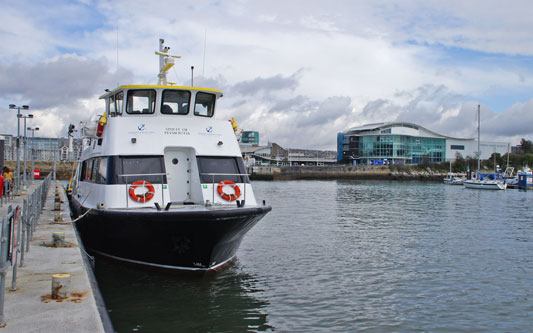
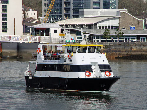
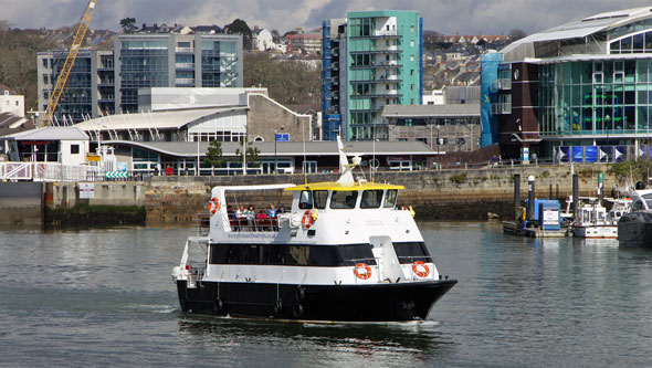
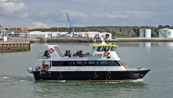
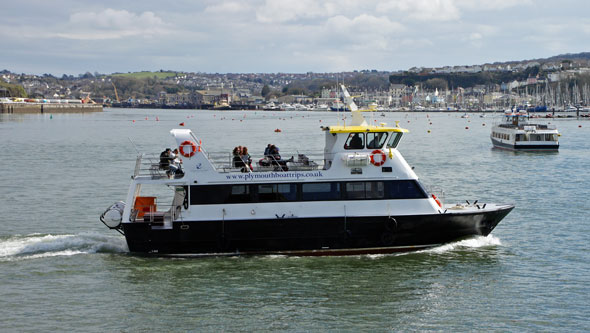
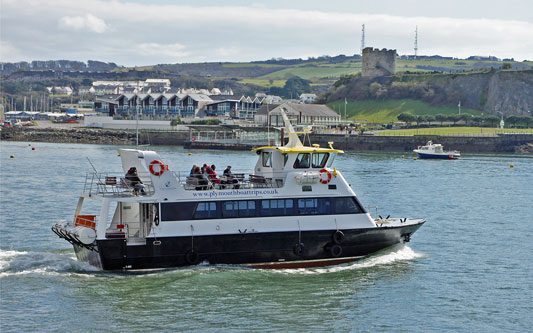
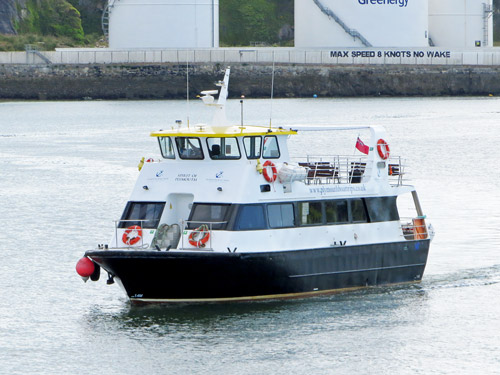
Spirit of Plymouth joined the Plymouth Boat Trips fleet for the 2013 season.
She is a comfortable modern boat with extensive open deck areas and covered
accommodation. Company owner Ben Squire was skipper on this first visit to
the Yealm in 2014 and gave an entertaining commentary on the many historic
sites and wildlife to be seen.
Spirit of Plymouth arriving at the Barbican after
her 12:30 Dockyard cruise
Photo: © Ian Boyle, 17th March
2013
Trip to
the River Yealm on Spirit of Plymouth
All images link to larger
copies which will open in a new window/tab
The River Yealm is south-east of Plymouth, reaching the sea just outside the
Plymouth harbour breakwater. The round trip takes around two hours.
Spirit of Plymouth arriving at Plymouth
Barbican Pier prior to my trip
Photo: © Ian Boyle, 14th May 2014
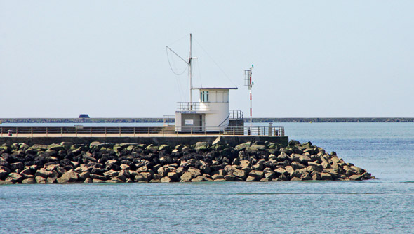
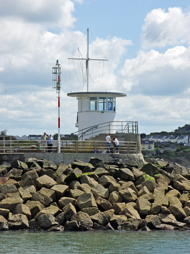
As we leave the Barbican we round the Mount Batten
Breakwater. Work on the Mount Batten Breakwater (also referred to as Mount
Batten Pier and Cattewater Breakwater) started in 1878 and was completed in
1881 at a total cost of £20,000. It is 915 feet (279 metres)in length and
the foundations are 20 feet (6 metres) below the low tide mark. The
breakwater was promoted by the Cattewater Commissioners who were responsible
for shipping in the area. During the air-station years the breakwater was
closed to the public and used, for a period, to store flying boats. In 1995
the breakwater was refurbished and re-opened to the public.
As we leave the Barbican we round the Mount Batten
Breakwater
Photo: © Ian Boyle, 14th May 2014
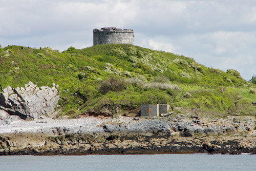
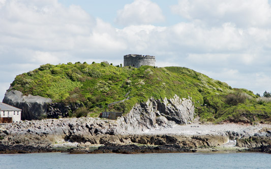
Mount Batten Tower is visible to the east as we pass the breakwater. In the
later Medieval period, Mount Batten became an important defensive point for
the developing settlement at Plymouth Harbour, providing a field of fire
from across the other side of the Cattewater, the channel connecting the old
town to the sea. In 1652, Mount Batten Tower, a 30-foot high circular
artillery fort was built here.
Mount Batten Tower is visible to the east as we pass
the breakwater
Photo: © Ian Boyle, 14th May 2014
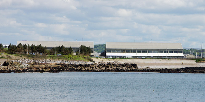
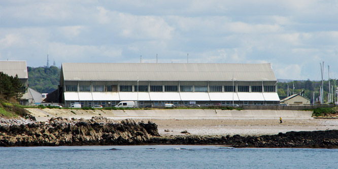
The Mount Batten peninsula was home to RAF Mount Batten which was a Royal
Air Force station and flying boat base. Originally a seaplane station opened
in 1917 as Royal Navy Air Service Station Cattewater, it became RAF
Cattewater in 1918 and in 1928 was renamed RAF Mount Batten.
No.10 Squadron RAAF (Australian) was based there between 1941–1945 flying
Short Sunderlands. An RAF presence, latterly without aircraft, was
maintained until 1992. Today, little evidence of the RAF base remains apart
from several memorials, some aviation-related road names, the main slipway
and two impressive Grade II listed F-type aeroplane hangars dating from
1917.
Two large 1917 hangers remain from RAF Mount Batten
which operated flying boats
Photo: © Ian Boyle, 14th May 2014
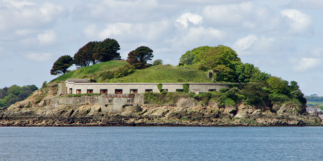
To the west as we leave the Barbican we can see Drake's Island in Plymouth
Sound. The first recorded name for the island was in 1135, when it was
referred to as St Michael's, after the chapel erected on it. At some later
date the chapel was rededicated to St Nicholas and the island adopted the
same name. From the latter part of the 16th century the island was
occasionally referred to as Drake's Island after Sir Francis Drake, the
English privateer who used Plymouth as his home port. Even well into the
19th century, maps and other references continued to refer to the island as
St Nicholas's Island and it is only in about the last 100 years that this
name has slipped into disuse and the name Drake's Island has been adopted.
The 1859 Royal Commission on the Defence of the United Kingdom recommended a
huge programme of new fortifications to defend Plymouth. On Drake's Island,
the existing battery at the centre of the island was replaced by five
12-inch muzzle loading guns in open emplacements. A new battery was also
built on the south-western end, of twenty one 9-inch guns in an arc of stone
casemates with iron shields. Six 12-pounder quick firing guns were added in
1897 and three 6-inch guns became the main armament in 1901.
The island was sold for £384,000 in 1995, with plans to turn it into a hotel
complex, but the owner has not, to date, obtained planning permission. The
island contains derelict military barracks and buildings from the Napoleonic
era, and a MoD radio mast.
Drake's Island barracks and batteries
Photo: © Ian Boyle, 14th May 2014
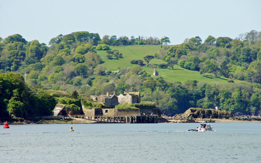
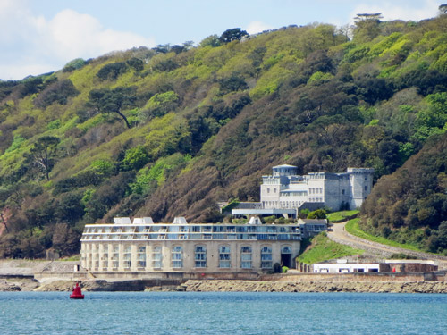
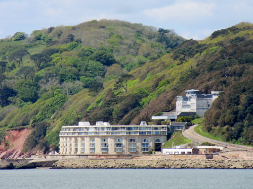
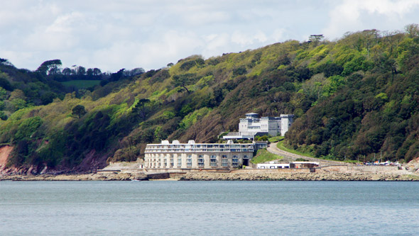
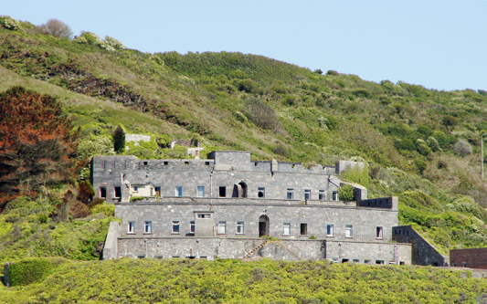
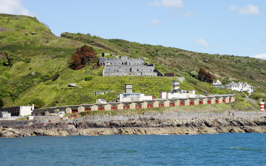
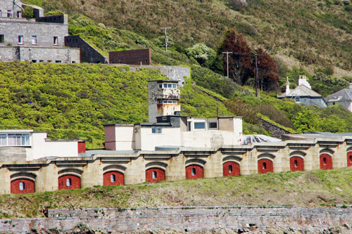
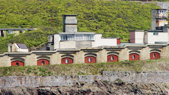
On the western shore of Plymouth Sound is the enormous Fort Picklecombe
battery, now a residential development.
Fort Picklecombe was commissioned in the mid 19th century by Lord
Palmerston, to protect against enemy invasion by sea, particularly from
France.
Palmerston ordered a series of coastal forts and batteries to be built in
the Plymouth area to defend the large naval base at Devonport. The western
coastal entrance to Plymouth Sound was to be defended by Fort Picklecombe,
with Fort Bovisand to the east, and a smaller fort on the Plymouth Sound
breakwater. Fort Picklecombe itself would be defended from attack from the
rear by a series of smaller forts and batteries positioned on or near the
Rame peninsula.
Fort Picklecombe was built near an earlier earthen battery dating back to
the start of the 19th century. Constructed between 1864 and 1871, the fort
was armed with forty two 9-inch and 10-inch muzzle loading guns, which were
mounted in a semi-circular arc of two-storey casemates faced with granite
blocks and iron shields. In the 1890s, it was re-armed with two 6-inch
breech-loaders and two light quick firing guns. Not a single shot has ever
been fired in anger from the fort. The Palmerston forts’ lack of war action
led them to be dubbed Palmerston Follies, the fact that they were a
deterrent being lost on their critics.
On the western shore of Plymouth Sound is the enormous
Fort Picklecombe battery, now a residential development.
Photo: © Ian Boyle, 14th May 2014
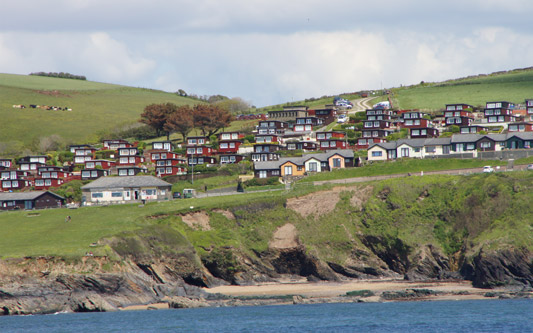
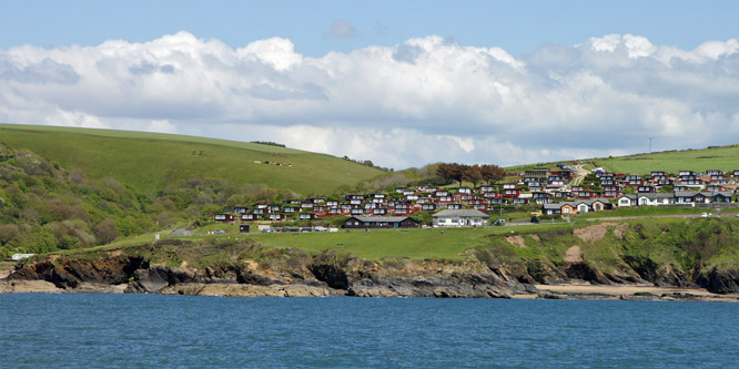
Holiday cottages/huts at Bovisand
Holiday cottages/huts at Bovisand.
Photo: © Ian Boyle, 14th May 2014
Fort Bovisand is on the eastern shore of Plymouth Sound opposite Fort
Picklecombe battery, defending the eastern entrance to Plymouth Sound.
Fort Picklecombe was commissioned in the mid 19th century by Lord
Palmerston, to protect against enemy invasion by sea, particularly from
France.
Palmerston ordered a series of coastal forts and batteries to be built in
the Plymouth area to defend the large naval base at Devonport. The western
coastal entrance to Plymouth Sound was to be defended by Fort Picklecombe,
with Fort Bovisand to the east, and a smaller fort on the Plymouth Sound
breakwater. Fort Picklecombe itself would be defended from attack from the
rear by a series of smaller forts and batteries positioned on or near the
Rame peninsula.
Fort Picklecombe was built near an earlier earthen battery dating back to
the start of the 19th century. Constructed between 1864 and 1871, the fort
was armed with forty two 9-inch and 10-inch muzzle loading guns, which were
mounted in a semi-circular arc of two-storey casemates faced with granite
blocks and iron shields. In the 1890s, it was re-armed with two 6-inch
breech-loaders and two light quick firing guns. Not a single shot has ever
been fired in anger from the fort. The Palmerston forts’ lack of war action
led them to be dubbed Palmerston Follies, the fact that they were a
deterrent being lost on their critics.
Additional lookout towers were built during WW2.
On the western shore of Plymouth Sound is the enormous
Fort Picklecombe battery, now a residential development.
Photo: © Ian Boyle, 14th May 2014
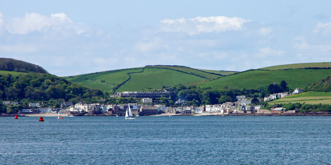
Cawsand and Kingsand are adjacent villages on the Rame peninsular on the
east side of Plymouth Sound.
Images of the ferry trip from Plymouth to Kingsand:-
www.simplonpc.co.uk/CawsandFerry.html
Adjacent villages of Cawsand and Kingsand
Photo: © Ian Boyle, 14th May 2014
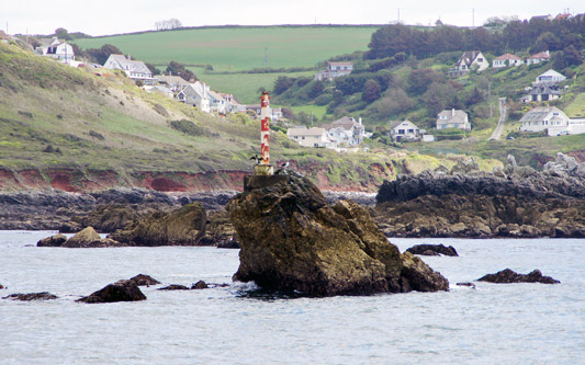
Shag Rock, named after the cormorants and shags which use the rock, with
Heybrook Bay in the background.
Shag Rock off Wembury Point.
Photo: © Ian Boyle, 14th May 2014
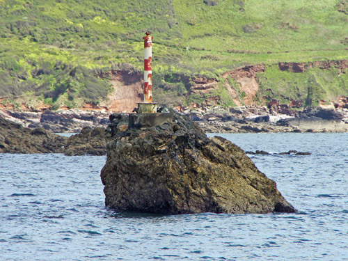
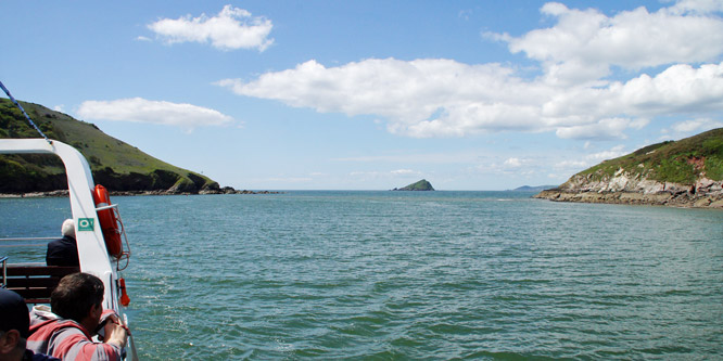
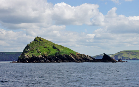
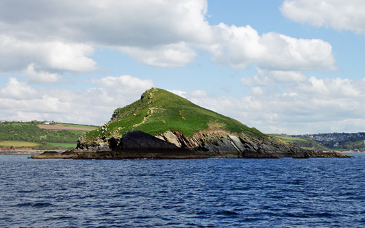
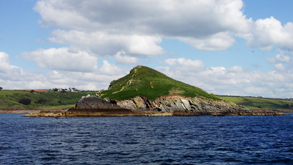
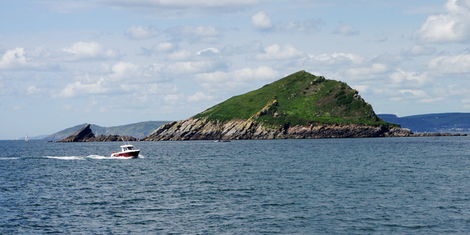
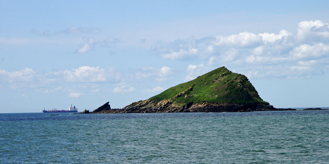
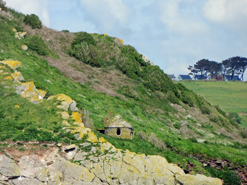
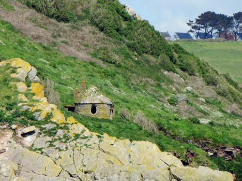
The Mewstone is a distinctive triangular island off Wembury Point which is
currently uninhabited.
The Mewstone, also showing the a small stone house on
the rock
Photo: © Ian Boyle, 14th May 2014
Wembury at the entrance to the River Yealm.
Adjacent villages of Cawsand and Kingsand
Photo: © Ian Boyle, 14th May 2014
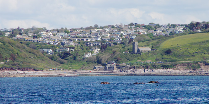
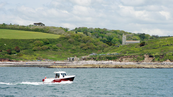
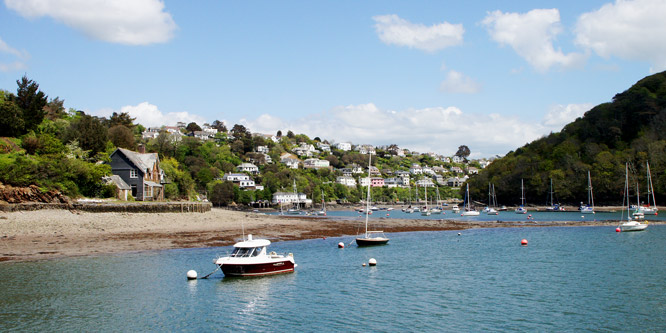
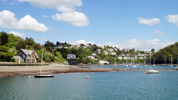
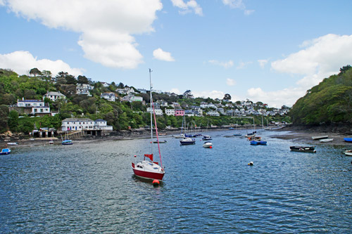
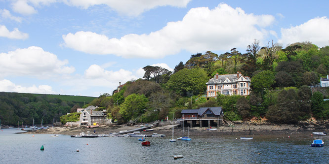
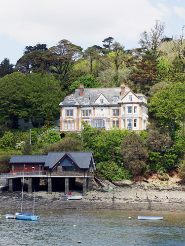
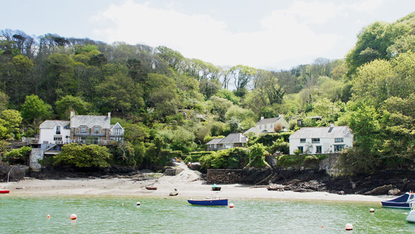
The Yealm is a river in Devon in England that rises 1,411 feet above sea
level on the Stall Moor mires of south Dartmoor and travels 12 miles (19 km)
to the sea, passing through Cornwood, Lee Mill and Yealmpton before reaching
its estuary which forms a ria (a coastal inlet formed by the partial
submergence of an unglaciated river valley) bounded on its western side by
Wembury.
The River Yealm
Photo: © Ian Boyle, 14th May 2014
