|
|
|
| |
|
|
|
This page is one of a series devoted to postcards and
photographs of British lighthouses. This page covers the counties of Norfolk
and Suffolk. In addition to the major lighthouses, the page shows other
navigational lights and beacons where possible.
|
|
|
|
|
|
All images link to larger
copies which will open in a new window/tab
This page is one of a series devoted to postcards and
photographs of British lighthouses. This page covers the counties of Norfolk
and Suffolk.
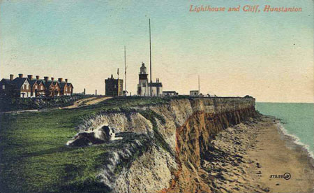
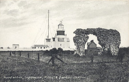
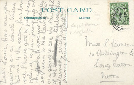
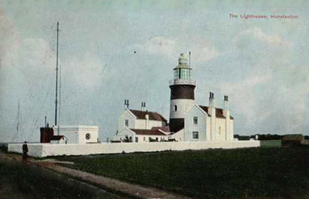
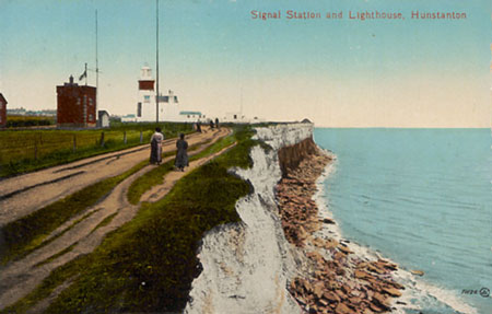
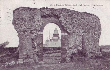
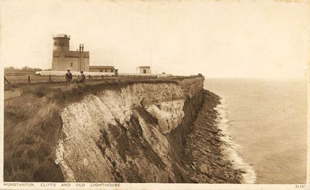
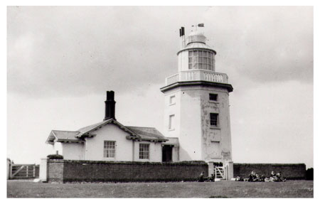
Hunstanton lighthouse was established in 1665 when
two stone towers were built on Hunstanton Cliff. The current lighthouse was
built between 1838-40 after the rights were purchased by Trinity House.
Additional floating lights around the Wash made the light superfluous and it
was discontinued in 1921. The lantern was removed the following year, as
shown in the later postcards below.
Postcard of Hunstanton Lighthouse
Postcard of Hunstanton Lighthouse
Postcard of Hunstanton Lighthouse
Postcard of Hunstanton Lighthouse
Postcard of Hunstanton Lighthouse
Postcard of Hunstanton Lighthouse
after 1921 with lantern removed
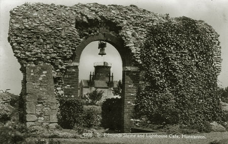
Postcard of Hunstanton Lighthouse
after 1921 with lantern removed
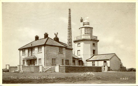
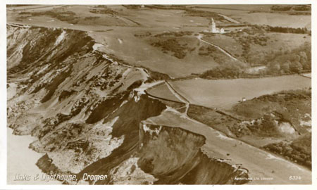
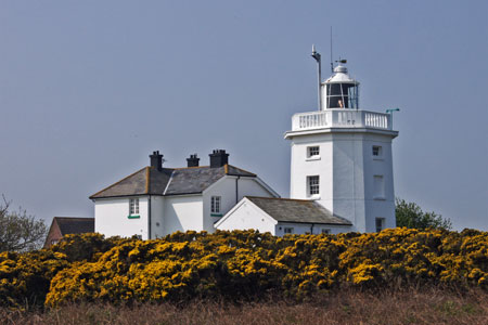
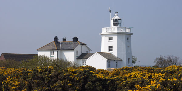
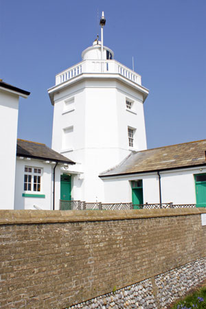
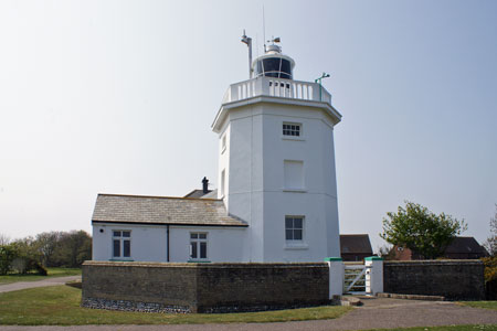
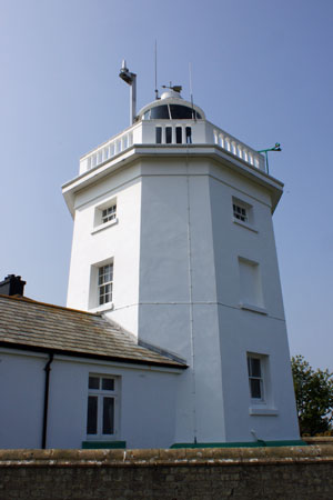
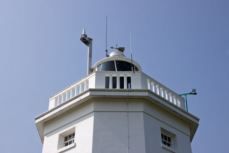
The first Cromer lighthouse was built in 1670.
Previously, lights were shown on the tower of the parish church. Landslips
showed that the original structure would eventually slip into the sea, and
so the existing tower was completed in 1883. It was converted to electric
operation in 1958 and automated in 1990.
Postcard of Cromer Lighthouse
Postcard of Cromer Lighthouse
Aerial postcard of Cromer Lighthouse
Cromer Lighthouse
Photo: © Ian Boyle,23rd April 2011
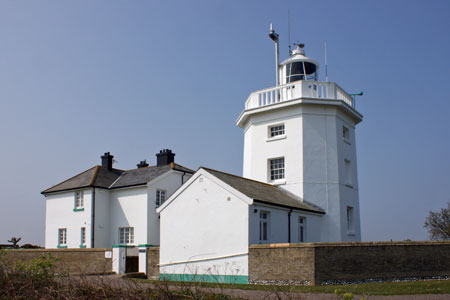
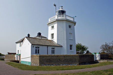
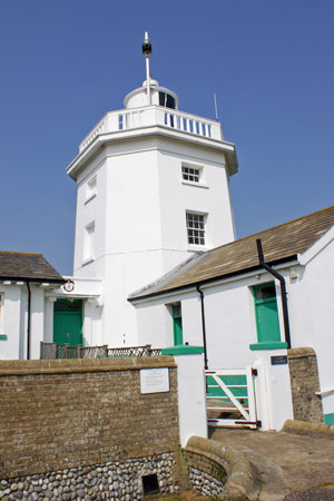
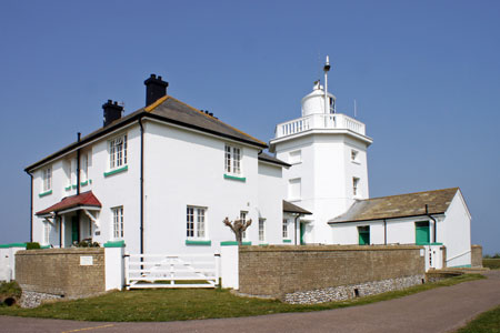
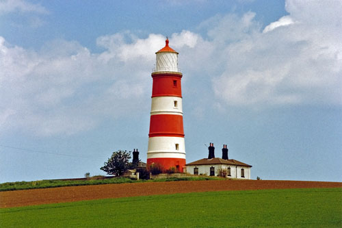
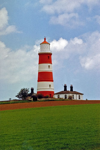
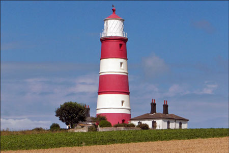
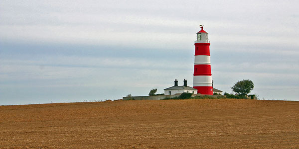
Happisburgh Lighthouse on the North Norfolk coast is
the only independently operated lighthouse in Great Britain. It is also the
oldest working lighthouse in East Anglia. The lighthouse is painted white
with three red bands and has a light characteristic of 3 white flashes,
repeated every 30 seconds, at a height of 135ft (41.1m) with a range of 14
miles (22.5 km). The existing building was
constructed in 1790, originally as one of a pair of candle-powered lights
(High Lighthouse and Low Lighthouse) and has been electrified since 1947.
The tower is 85ft (25.9 m) tall, putting the lantern at 134ft (40.8m) above
sea level. The Low Light was decommissioned and demolished in 1883 before it
could be lost due to coastal erosion. Together they formed a pair of range
lights that marked a safe passage around the southern end of the offshore
Haisborough Sands 8 miles (12.9 km) to the safe waters of The Would.
In 1987 Happisburgh was one of 5 lighthouses declared
redundant by Trinity House and deactivation was planned for June 1988.
Villagers organised a petition to oppose the closure, and as a result the
date was postponed. Under the Merchant Shipping Act of 1894, Trinity House
may dispose of a working lighthouse only to an established Lighthouse
Authority. On 25 April 1990 the Happisburgh Lighthouse Act received the
Royal Assent establishing the Happisburgh Lighthouse Trust as a Local Light
Authority, and Happisburgh became the only independently run operational
lighthouse in Great Britain.
Happisburgh Lighthouse
Photos: © Ian Boyle, June 1989
Happisburgh Lighthouse
Photo: tournorfolk.co.uk
Happisburgh Lighthouse
Photo: earth.google.co.uk
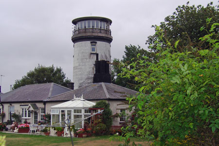
A lighthouse has stood in this location since the
17th century. This first lighthouse was constructed between 1616 and 1618.
This lighthouse was destroyed by fire and was rebuilt in 1687 and had an
octagonal tower. The lighthouse was privately owned by the Turner family who
were entitled to a penny per ton for every ship that sailed within the
light. The lighthouse can be seen clearly on Faden’s large-scale map of the
county of Norfolk of 1779, and Bryant's map of 1826. In 1836 the lighthouse
was bought by Trinity House. During the 1914/1918 World War the present
lighthouse became a military lookout post. Soon after, in 1921, the
lighthouse ceased operations and the lighthouse and its cottage were turned
into a private residence. The lantern was replaced by a circular observation
room.
The lighthouse was used as a military lookout post in
World War Two. At this time the tower was strengthened with Brick and
concrete above the level of observation room and a gallery was added. The
lighthouse was then used for observation for the Winterton Emergency Coastal
Battery. The adjoining buildings were also used by the Coastal Battery’s
garrison. After the war the lighthouse was the home of Viscount Elmley, M.P.
for East Norfolk. In 1972 the lighthouse and cottage became part of the
Hermanus holiday complex. In 2000 the lighthouse and cottage were sold again
and is now two private dwellings, one in the tower, the other in the
cottage.
Winterton Lighthouse
Photo: wikipedia.org
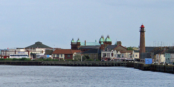
Gorleston Lighthouse is located near mouth of River
Yare in Gorleston on Sea on the Norfolk coast. The lighthouse was built in
1878. Gorleston lighthouse carried two lights. The main gallery light for
the harbour entrance mounted on the tower was a white light visible for 6
miles. It now shows a fixed red light, also visible for 6 miles. At a height
of 23ft, an occulting white light is displayed through a first floor window,
flashing four seconds on, two seconds off. This is a rear light working in
conjunction with a light on a 19ft white pole, 115ft away on the roadside.
Gorleston Lighthouse
Photo: © Ian Boyle, 26th June 2007
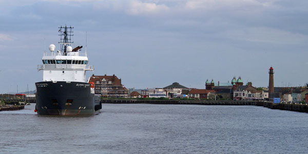
Gorleston Lighthouse
Photo: © Ian Boyle, 26th June 2007
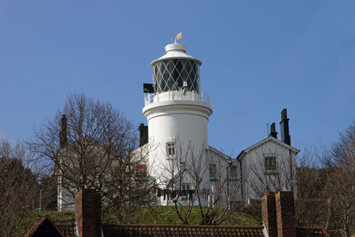
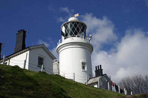
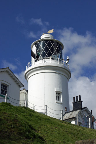
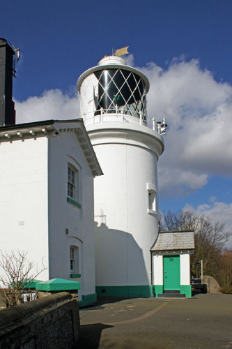
In 1609 Trinity House responded to petitions from
ship owners and merchants who had lost cargoes and vessels on the dangerous
sandbanks and shoals around the East coast. The proposal was to erect two
towers, a high and low light, 'for the direction of ships which crept by
night in the dangerous passage betwixt Lowestoft and Winterton'.
Two lighthouses were established on the low lying
foreshore known as Lowestoft-ness, the illuminant being tallow candles. When
the two lights were in line they led vessels through the Stamford Channel,
an inshore passage used by small vessels, which no longer exists. The
lighthouses were rebuilt in 1628 and again in 1676 when the rear light was
erected upon the cliff as the light was no longer solely used by vessels
feeling their way along the coast, but also by those approaching from far
out to sea. The new High Lighthouse, which cost £300, was a substantial
building of brick and stone and in order to improve the light the candles
were replaced by a coal fire.
In 1706, owing to encroachment by the sea, the Low
Light was discontinued. For years afterwards the shipmasters complained of
the difficulty in navigating the Stamford Channel during the night time, and
eventually, in 1730 it was re-established, as an oil light, burning whale
oil in an open flame lamp. The new Low Light was designed to be easily
moveable either on account of the encroachment of the sea or a change in the
direction of the Stamford Channel.
In 1777 Trinity House experimented with reflector
lights at Lowestoft. The coal fire in the high light was replaced by a new
glass lantern 7ft high and 6ft in diameter. Inside this was erected a large
cylinder covered with 4,000 small mirrors. These reflected the light from
oil lamps arranged in a circle around them. The 'spangle light' as it was
known was said to have a range of 20 miles, and was welcomed by all who saw
it. However, the development of lighthouse optics at this period was making
vast strides and by 1796 the spangle light had been abandoned and Argand
lamps and silvered parabolic reflectors were installed at a cost of £1,000.
Following experiments with electric lighting at South
Foreland Lighthouse, in 1870 the decision was taken to electrify the
Lowestoft High Light. The existing tower was not considered strong enough to
take the weight of the new equipment and a new tower which still stands
today was built at a cost of £2,350. However before the tower was ready to
receive the electrical apparatus paraffin oil became available as an
illuminant, and it immediately proved itself to be so economical and
efficient that it was adopted for use in the new lighthouse in preference to
electricity. At the same time a new optical system was fitted having a
revolving lens, and the light, which up to then had always been fixed, was
made to flash at half-minute intervals. The rebuilding was completed in
1874.
By the early 1920's the Low Light had ceased to
fulfil any useful function due to the disappearance of the Stamford Channel
and was finally extinguished in August, 1923. The High Light was automated
in 1975 and modernised in early 1997. (www.trinityhouse.co.uk)
Postcard of Lowestoft High Lighthouse with open topped
tram
Probably pre-WW1 card
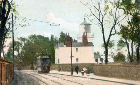
Postcard of Lowestoft High Lighthouse
Similar pre-WW1 card to the one above but with a
single deck tram
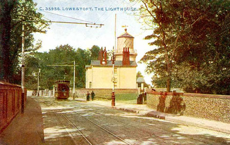
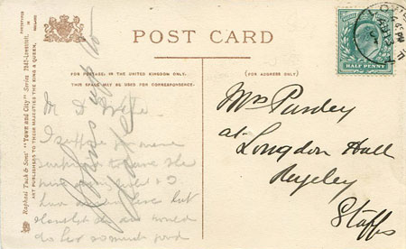
Postcard of Lowestoft High Lighthouse,
posted 1904, similar to the cards above

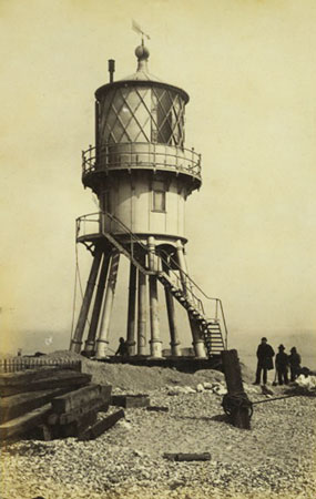
Postcard of Lowestoft Low Lighthouse,
discontinued in 1923
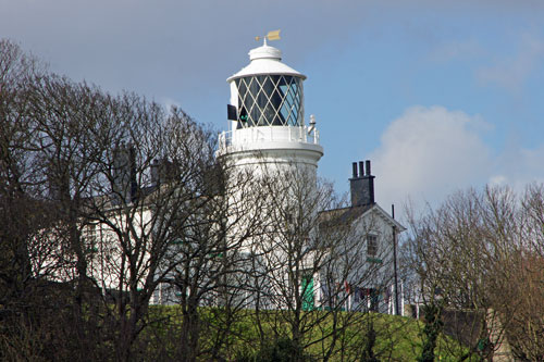
Lowestoft High Lighthouse
Photo: © Ian Boyle, 19th March 2012
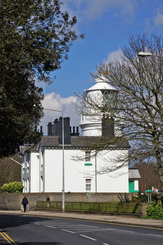

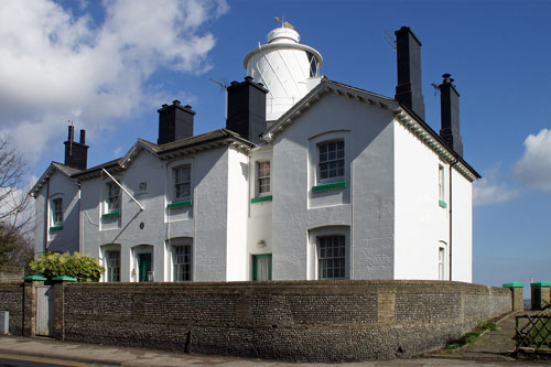
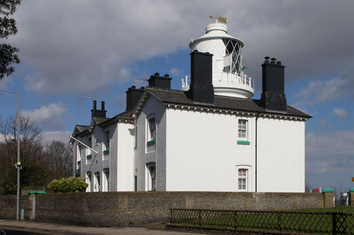
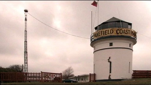
The lighthouse at Pakefield was lit in 1832. It was
erected to mark the channel between the Barnard and Newcombe sands and was
one of three subsidiary lights erected to try and mark the changing channels
in the area. It showed a fixed red light visible for 9 miles. By 1850 the
channels had shifted and a new light was erected to the south of
Kessingland. Pakefield light was discontinued in 1864. The Kessingland light
was also discontinued in 1871 and no remains survive. In 2000 the Pakefield
light was restored by volunteers for use by National Coastwatch during the
summer months. It is sited within a holiday camp.
Pakefield Lighthouse
Photo: bbc.co.uk
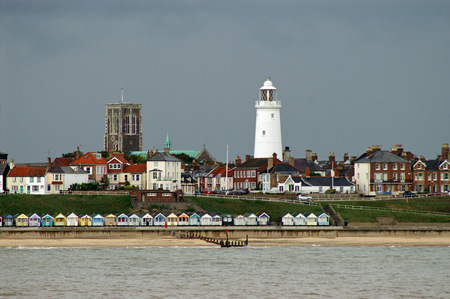
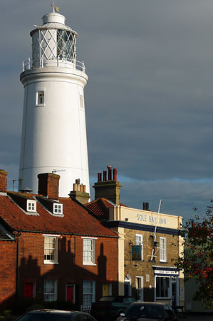
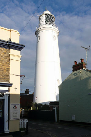
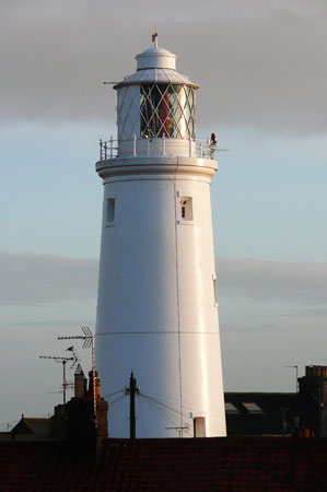
Southwold Lighthouse is a coastal mark for passing
shipping and guides vessels into Southwold Harbour. The lighthouse is
situated near the centre of the seaside resort of Southwold.
Construction of Southwold Lighthouse began in 1887 under the supervision of
Sir James Douglass, Engineer in Chief to Trinity House. The lighthouse
replaced three local lighthouses which were under threat from severe coastal
erosion at Orfordness to the South. While the masonry tower was built a
temporary light was shown from a wooden structure which was first lit on
19th February 1889.
The present lighthouse came into operation on 3rd September 1890. The light
was originally provided by an Argand burner, this was replaced by a Matthews
incandescent oil burner in 1906. A Hood 100mm petroleum vapour burner was
installed in 1923 and remained until the station was electrified and
demanned in 1938. Two red sectors mark shoals to the north and the Sizewell
Bank to the south, the main navigation light is white.
Southwold Lighthouse seen from
the beach
Photo: © Ian Boyle, 1989
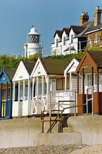
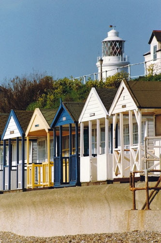
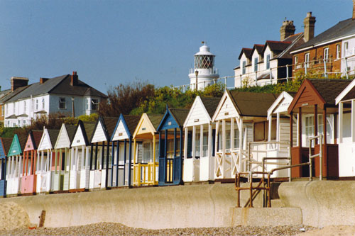
Southwold Lighthouse
Photo: © Ian Boyle, 30th/31st March 2008
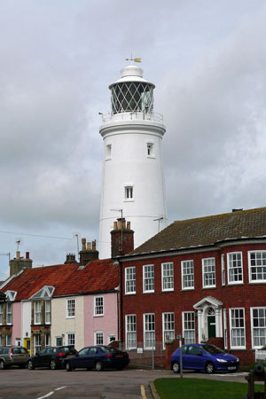
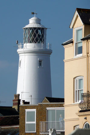
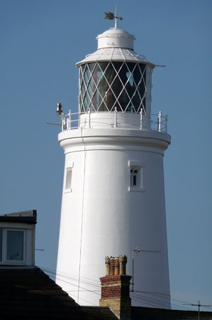
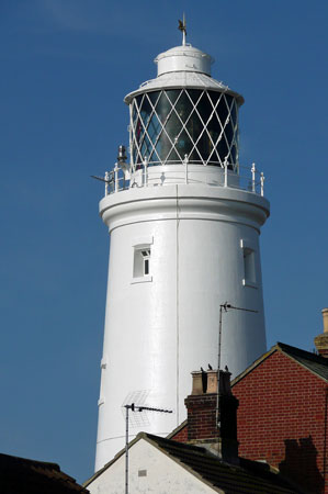
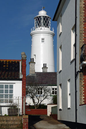
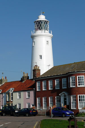
Southwold Lighthouse
Photo: © Ian Boyle, 31st March 2008
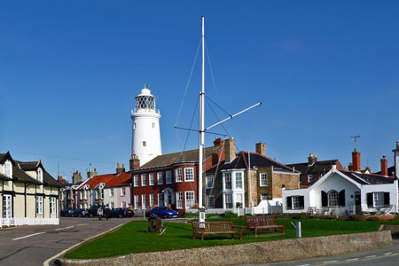
Southwold lighthouse, seen from the
MV Balmoral
Photo: © Ian Boyle, 7th July 2009
Southwold Lighthouse
Photo: © Ian Boyle, 4th/5th December 2009
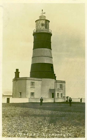
Postcard of Orfordness Lighthouse
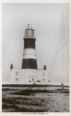
Postcard of Orfordness Lighthouse
Orfordness lighthouse, seen from the
MV Balmoral
Photo: © Ian Boyle, 26th June 2007
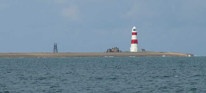
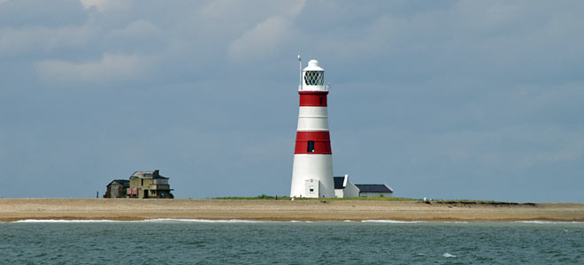
Orfordness lighthouse, seen from the
MV Balmoral
Photo: © Ian Boyle, 26th June 2007
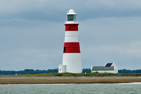
Orfordness lighthouse, seen from the
MV Balmoral
Photo: © Ian Boyle, 26th June 2007
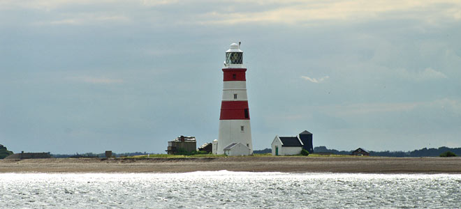
Orfordness lighthouse
Photo: © Ian Boyle, 25th June 2011
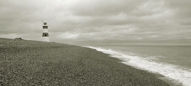
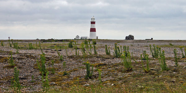
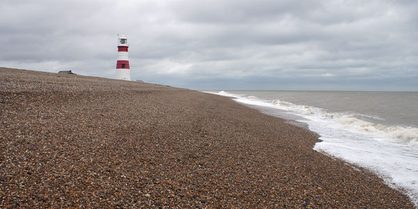
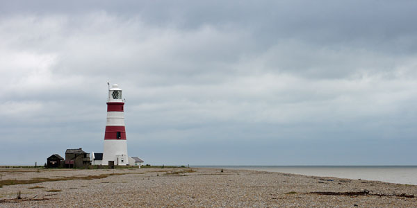
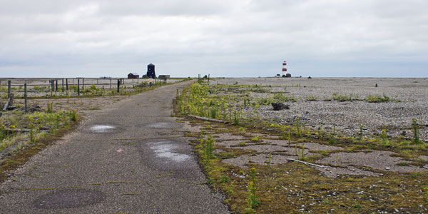
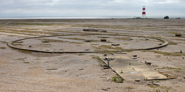
Orfordness lighthouse
Photo: © Ian Boyle, 25th June 2011
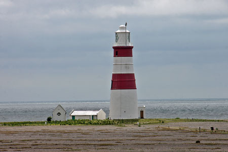
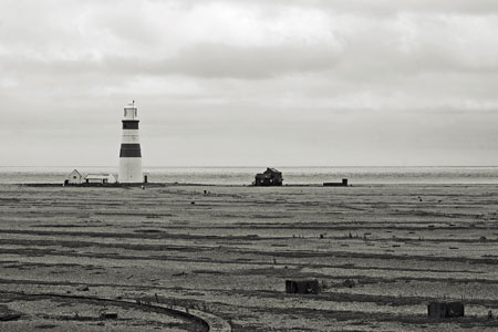
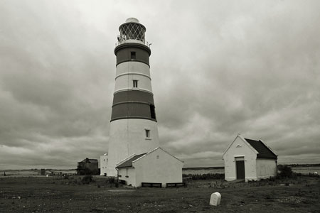
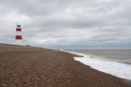
Orfordness lighthouse
Photo: © Ian Boyle, 25th June 2011
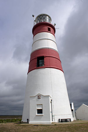
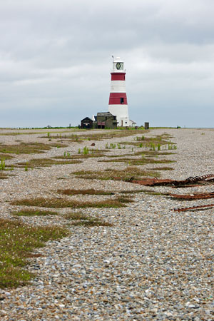
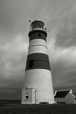
Orfordness lighthouse
Photo: © Ian Boyle, 25th June 2011
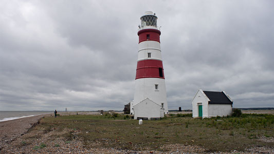
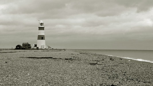
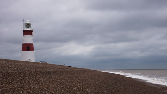
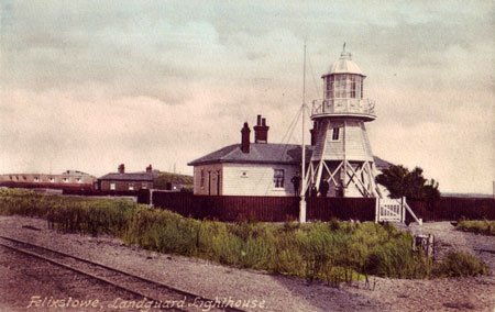
A light was placed on Landguard Fort in 1841,
replaced by a permanent light on a 38ft wooden tower in 1861, to assist
ships entering the River Stour. The lighthouse was destroyed by fire in
11925 and not replaced, the buoyed channel being considered adequate. Whilst
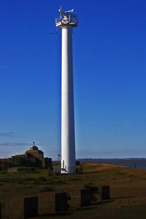
the lighthouse has now gone, there is a very impressive
radar tower close to the original
lighthouse site.
Postcard of Felixstowe Lighthouse
at Landguard Point
Radar tower at Landguard Point,
near the site of the old lighthouse
Photo: © Ian Boyle, 12th May 2010
